| Last Owner | Well # | Year 1st Drilled | Total depth(ft) | Initial Prod. (bpd) | Remarks |
|---|---|---|---|---|---|
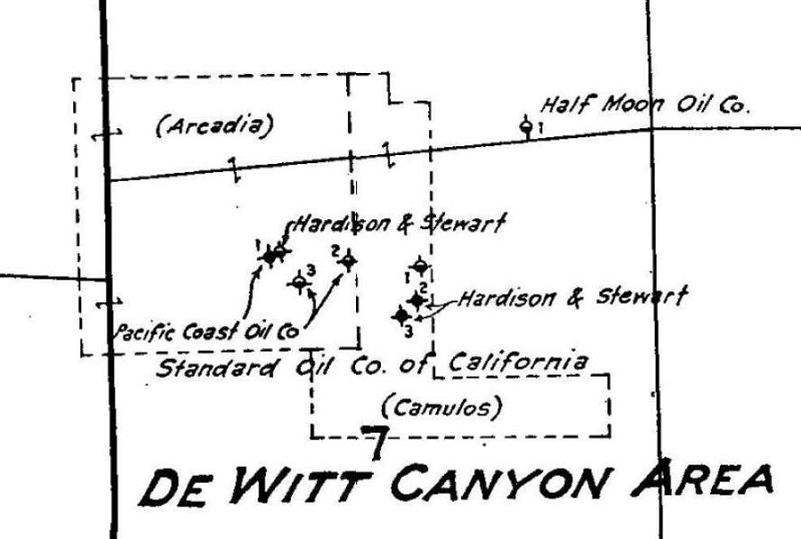
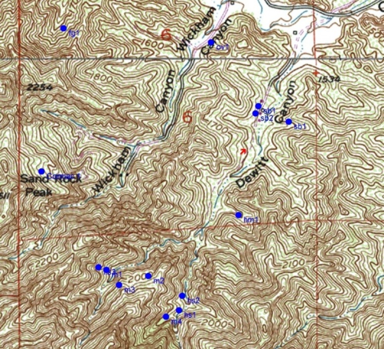
| Hardison & Stewart Oil Co. | 1 | 1882 | 1000 | 1 | No commercial production |
| Hardison & Stewart Oil Co. | 2 | 1883 | 700 | ? | No production |
| Hardison & Stewart Oil Co. | 3 | 1883 | 1600 | ? | Little production |
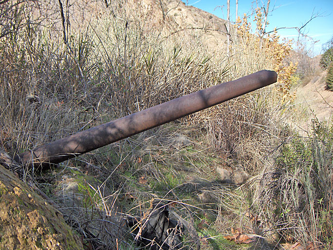
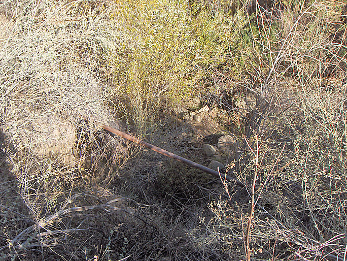
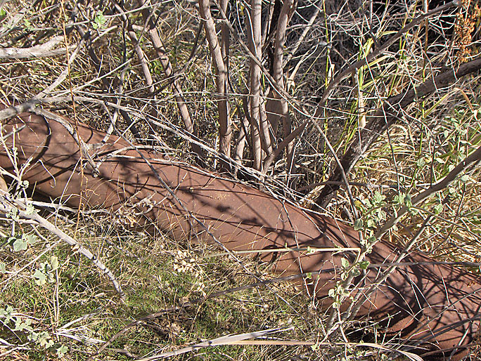
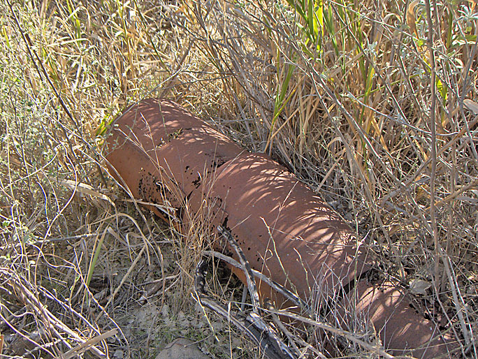
| Chevron USA | Moore 1 | 1896 or 97 | 1320 | 8 | Plugged in 1991. |
| Chevron USA | Moore 2 | 1897 | 925 | 0 | No production. Plugged in 1991. |
| Chevron USA | Moore 3 | 1897 | 1360 | 0 | Hole caving badly and well abandoned. Plugged in 1991. |
| Chevron USA | Moore 4 | 1897? | ? | ? | No records. May not exist. |
| Half Moon Oil Co. | 1 | 1921 | ? | ? | Only "intent to drill" record exists. May have never been drilled. |
| Monterey Resources Inc. | Sanborn 1 | 1941 | 8171 | 0 | Drilled by Aztec Oil Co. Deepened in 1942 and 1945. No production. |
| Mutual Development Corp. | Sanborn 1 | 1947 | 6471 | 0 | No production. Plugged in 1998. |
| Mutual Development Corp. | Sanborn 2 | 1948 | 6301 | 0 | No production |