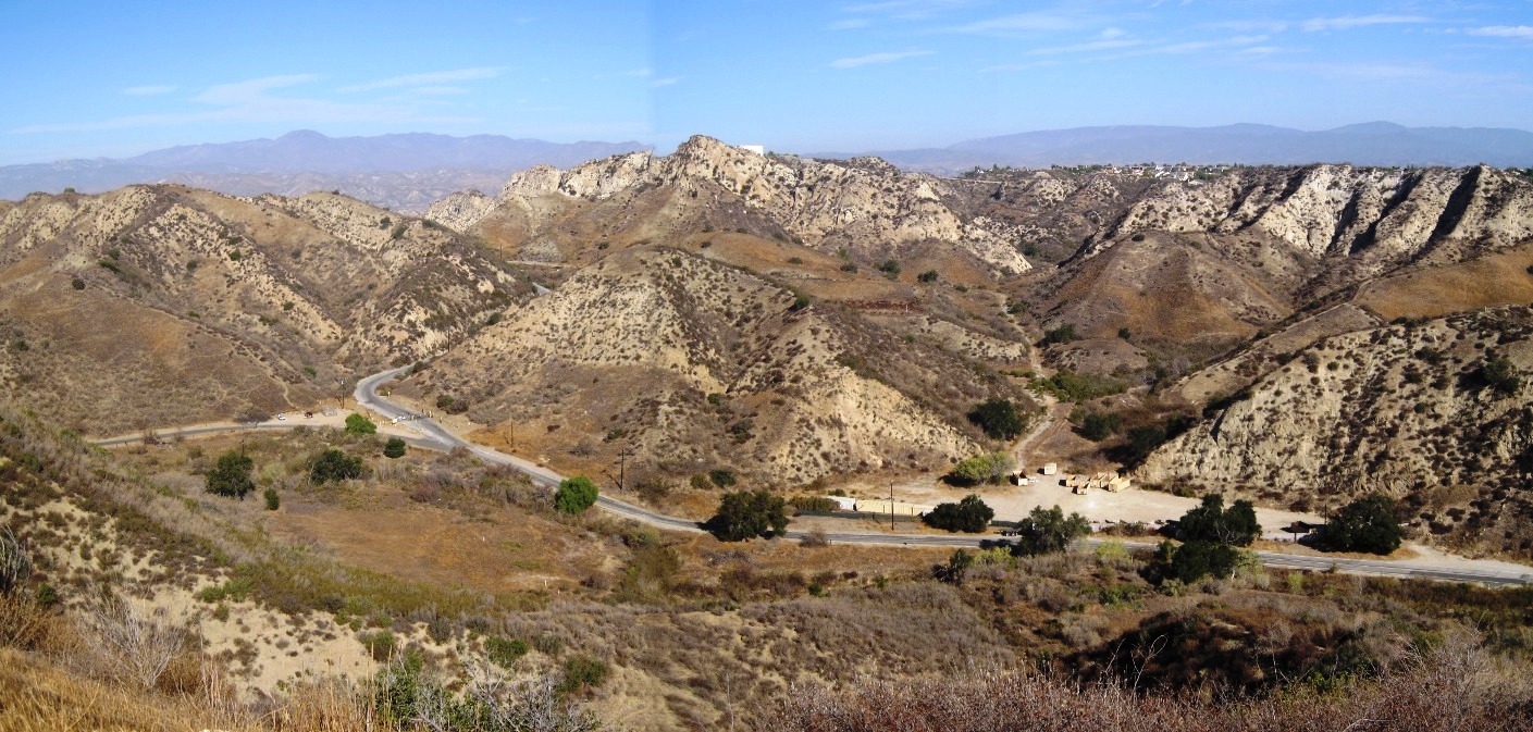
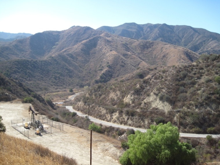
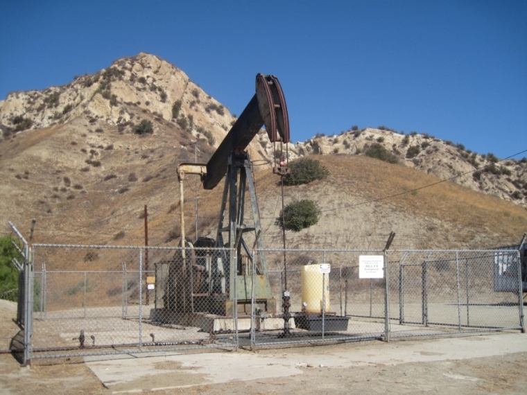
Photos from other areas from around the canyon.
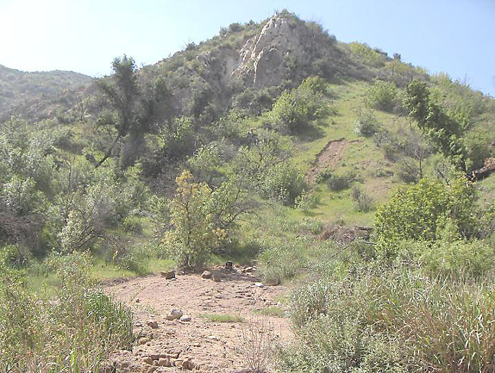
The lower part of this photo shows the PCO 40 well site at the northern end of PCO Hill. This well was drilled in 1909 and there is virtually nothing left except an old dried out petroleum spill in the open area.
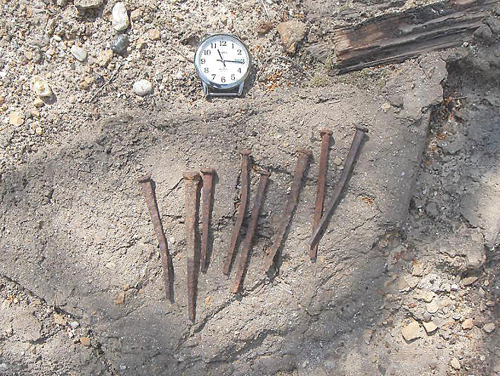
There were some old cut nails at the PCO 40 site
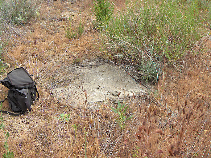
This is the final step that is taken to cap some wells. About a three foot slab of concrete is layed down. This is CSO 29, which overlooks the hairpin curve. (4/19/2008)
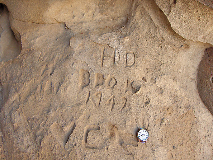
Here is some carving from 1947 inside a cave (4/5/2008)
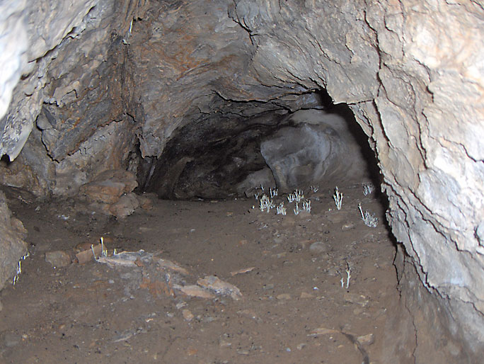
Some unusual plants inside a cave. very little light is able to get into the back of the cave. (4/5/2008)
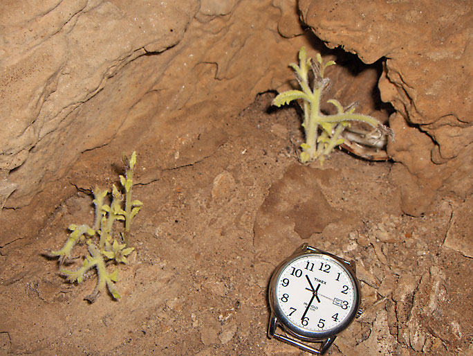
Close-up of the plants
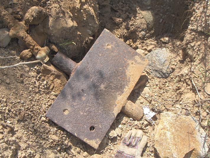
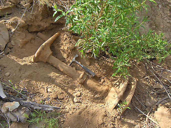
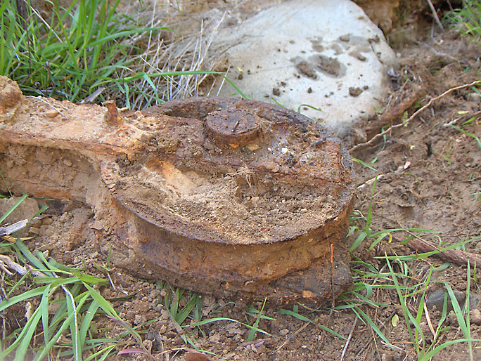
Part of the center irons of a rig near PCO 31 site. This piece is called a saddle because a walking beam sits on it. (4/5/2008)
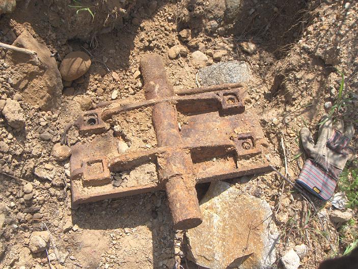
The other side of the saddle (4/5/2008)
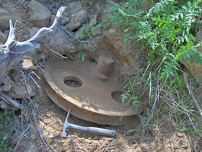
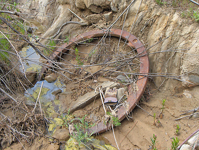
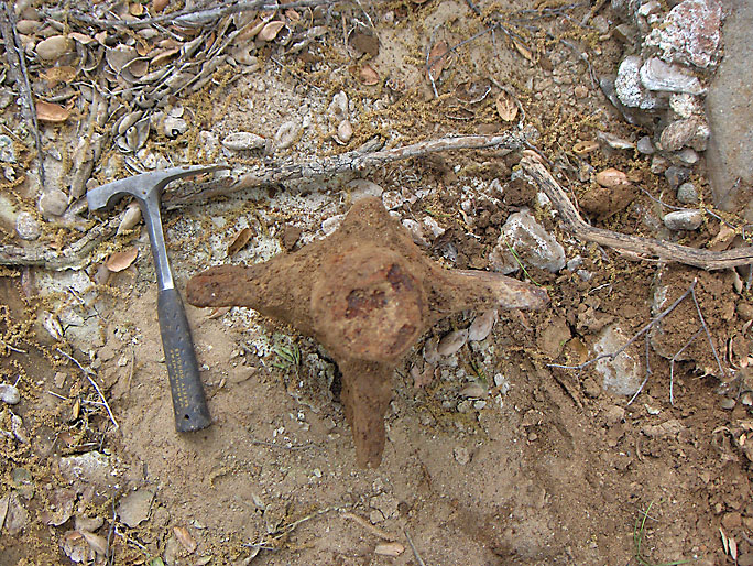
Here is a partially buried 32-inch diameter crown pulley also near the PCO 31 site. This pulley would be at the top of the derrick in the crown block with other pulleys. (4/5/2008)
Band wheel shaft with 26-inch diameter flanges near one end and the crank on the other end. This is like the one in Johnson Park. The actual band wheel, missing here, would be mounted between the flanges. (4/5/2008)
The crank with the wrist pin set in the second hole from the shaft. After taking pictures, I re-buried the pulley and band wheel shaft to about the way they were when I found them. (4/5/2008)
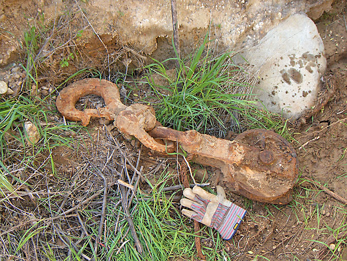
A hook and pulley setup found in Hughes Canyon (4/5/2008)
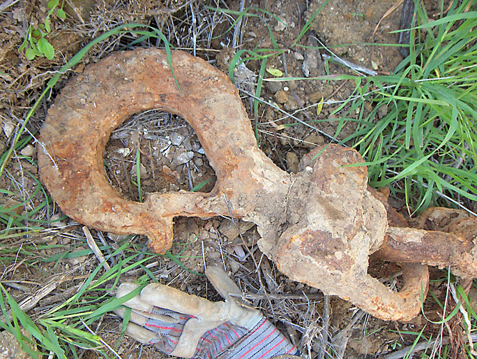
Closer view of the hook. The hook looks like a modern-day clip-on hook. (4/5/2008)
Closer view of pulley (4/5/2008)
Engine fly wheel also in Hughes Canyon (4/5/2008)
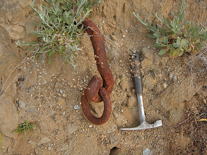
This hook and ring are embedded solidly in the side of the road at the site of PCO 27 in Hughes Canyon, the closest well. There are no records for PCO 27, but it must have been spudded in 1891 or 1892. (4/30/2008)
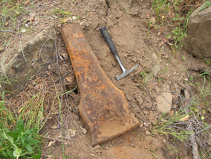
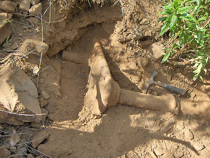
This is the end of a spudding bit from a cable tool drilling rig from a well site in Hughes Canyon. A spudding bit is used when the well is started until solid rock is reached. (4/19/2008)
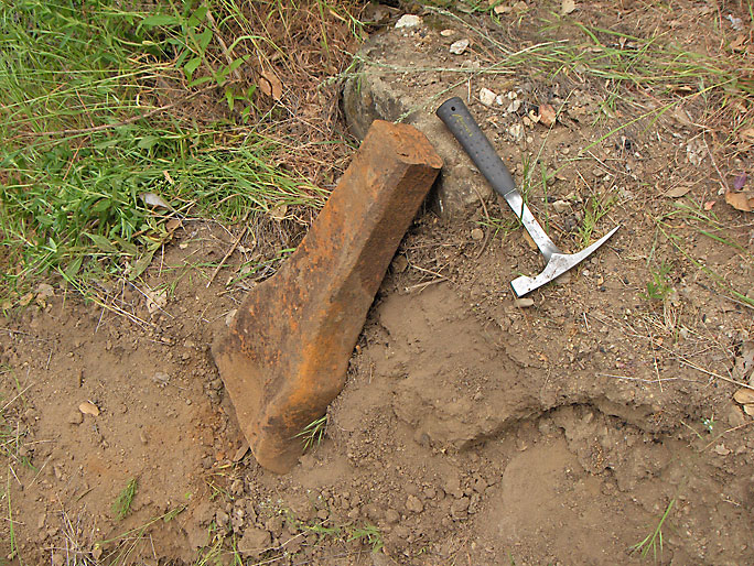
Another view. It is very heavy. (4/19/2008)
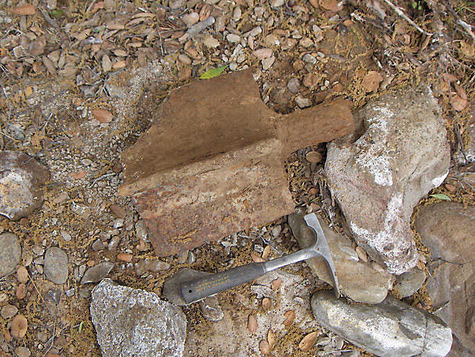
An old, very rusted, and partially damaged wing gudgeon. One was placed at each end of a wooden shaft. The butt ends of the shaft were mortised so that the wings could be inserted leaving the cylindrical parts of the gudgeon projecting from each end of the shaft. (4/19/2008)
Top view showing its "wings" (4/19/2008)
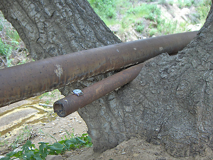
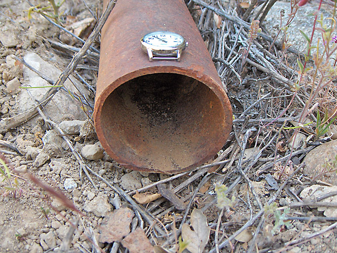
This small section of 2-inch pipe is probably almost all that remained of the original pipeline out of the canyon, which was laid in 1879 to the refinery in Newhall. It was the first oil pipeline in California and the oil flowed by gravity. There is hardened petroleum on the inside bottom showing that oil once flowed through this pipe. (4/19/2008)
Evidently, the 2-inch pipeline was also used to carry water, using a pump, to the canyon until the end of 1881, when a new 4 mile long pipeline was laid for water from the Santa Clara River northwest of Pico Canyon. Also, at this time a large water tank was built in the canyon to hold the water. The larger pipe was, and still is, used for water, but whether it was the original water pipe is hard to tell.
A second pipeline was laid to Ventura starting in 1895 and finished in early 1896. PCO also built a steam tanker named the George Loomis. It's maiden voyage was in January, 1896, to San Francisco. It was filled with all of Pico's production and, with an agreement from Union Oil, most of their oil (White, 1962).
From "Oil and Gas Yielding Formations of California, by W. L. Watts, California State Mining Bureau, 1900:
"Pacific Coast Oil Company - The pipe-line of this company conveys the oil from their wells in Pico Canyon, Los Angeles County, to the seashore at Ventura, in Ventura County, a distance of 44 miles. For 20 miles from the wells, the line is 2" pipe, and from that point to Ventura, a distance of 24 miles, it is 3" pipe. The head is about 1900'. The greatest undulation is about 200', and for nearly the entire distance the grade is uniform and nearly level. This pipe discharges by gravity at the rate of 25 barrels an hour at a temperature of 65 degrees F. The gravity of the oil is about 41.5 degrees B. The Pacific Coast Oil Company has also a pipe-line extending from their wells in Pico Canyon to the railroad in Newhall. This line is about 7 miles long, and is of 2" pipe. It has a head of about 600', and at a temperature of about 65 degrees F. it will discharge by gravity at the rate of about 30 barrels an hour."
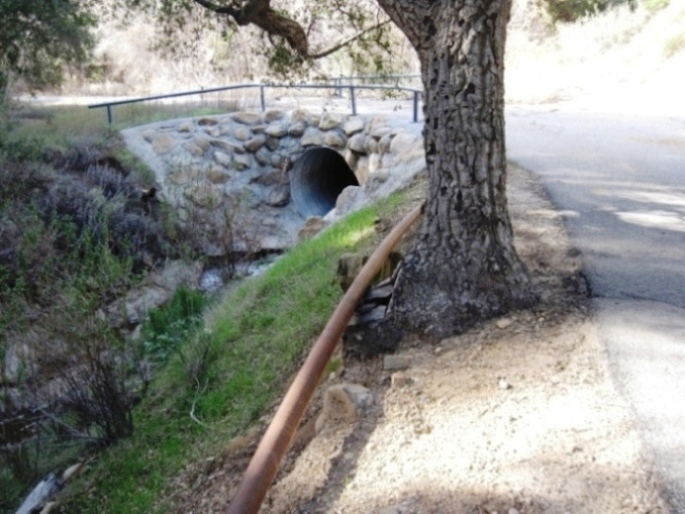
A few years after the above photo was taken, the MRCA decided to remove the smaller pipe along with part of the oak tree. (1/16/2024)
Futher up the road the larger pipe from the above picture is cut (although this cut can no longer be seen). Here is the cross section. Note that there is no hardened petroleum on the inside bottom of the pipe as there is on the smaller pipe. This pipe was only used to transport water and was probably connected to a water tank located on the first flat area past the hairpin curve (the staircase for the tank is still at the flat area covered by brush). (4/19/2008)
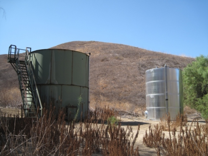
The old green tank just outside of Mentryville got a partner tank in 2013. The old tank is empty, but the new tank contains water for fighting fires. The old tank's staircase is laying on the ground. (8/21/2013)
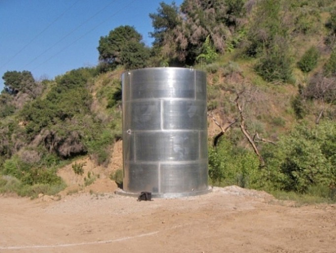
New tank further down the road closer to the Pico 4 well site was installed in 2008. It will also be used to fight fires. (4/22/2008)
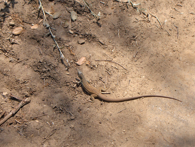
On the road just after Johnson Park (in 2008) I came across this about 8 inch California Whiptail lizard with its attention on something in the brush. I was able to get very near without it running away and take its picture. Then I heard something in the brush and saw a snake kind of thrashing around. (5/30/2008)
I looked back at the whiptail and it was gone. Suddenly an alligator lizard came out of the brush where the snake was and actually walked right between by boots and onto the road, where I took its picture. It wasn't going as fast as I thought it should be, but it made a beeline to the other side of the road. (5/30/2008)
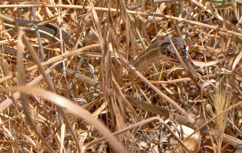
Looking back in the brush, I saw why the lizard wanted to get away. The snake (looks like a California Striped Racer) had part of the lizard's tail in its mouth. (5/30/2008)
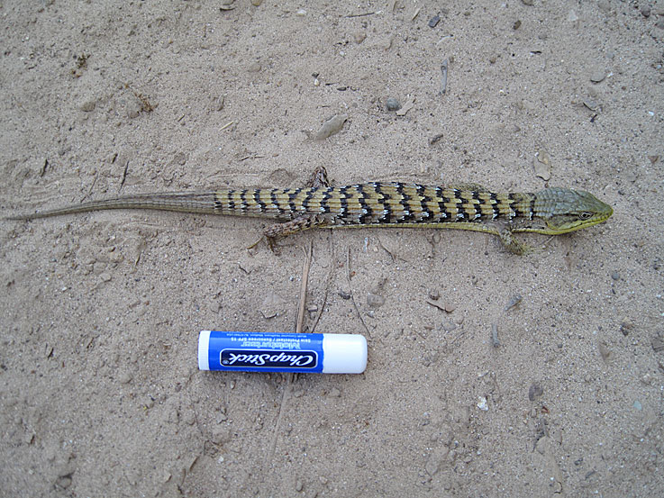
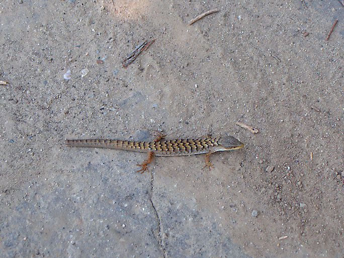
Alligator lizard sunning itself in the road at almost the same spot as the above lizard was two years ago when I took those photos. Losing a tail must be pretty common among lizards. (4/11/2011)
View towards the north of the "Y" (on the left) at the free parking area just before you enter the park. (10/20/2014)
Opposite view from the previous photo. This is a view towards the south of the "Y." You can just see the parked vehicles at the road. There once was an oil well looking down at the "Y". You would occasionally see it being pumped during the day. (10/20/2014)
The well was Ferguson 8 and is part of the Newhall-Potrero oil field. It was drilled in July - September of 1950 to a depth of 7459 feet with an initial production of 778 barrels per day. After 30 days, the production was 230 bpd. The well was abandoned in late 2020 or early 2021. The site is empty now. (10/20/2014)