Pico Canyon, Santa Clarita, California
Hiking in Pico Canyon (Photo taken on 4/22/2011)
Pico Canyon was actually named for Romulo Pico, not his father Andres Pico. Jesus Hernandez and Ramon Perea discovered the oil springs in the canyon in early January. They told the Pico's and many others about their discovery. The first claim in the canyon was filed by Romulo on January 24, 1865. He filed a preemption claim for the plot of land that included the oil springs. A preemption claim covered only farming and grazing of the land. There wasn't an oil claim at that time. Romulo's claim did not include Hernandez and Perea (or father Andres). This upset the two discoverers. See the oil history page for the rest of the story.
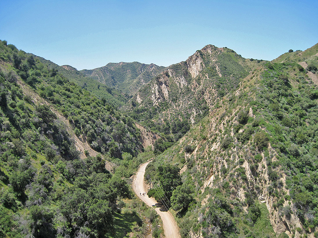
There is much to see in Pico Canyon. The hike begins at the old oil town of Mentryville. Soon after that is Johnson Park. About 1/4 of a mile later you reach the famous oil well CSOW 4. This is the Pico springs area. CSO Hill looms over the well to the west. From there, the road takes a hairpin curve and snakes east up the north side of PCO Hill. Near the top you have a view to the east of Christian Hill. Eventually, after about 3.5 miles and an increase of elevation of about 790 feet from the start of the hike, you reach the oil well Odeen 1. Here, you are at the top of the Pico anticline (see geology page) and have a great panoramic view of Santa Clarita.
Here is a segment of a video (Rio Santa Clara, Myna Lou Productions, 1956) with a short trip down Pico Canyon in 1955 or 56. Unfortunately, the history she tells is mostly wrong, but the visuals are nice to have. (Used by permission of the Santa Clarita Valley Historical Society. The full video can be viewed on their website.)