Brief History of Oil Development in Wickham Canyon
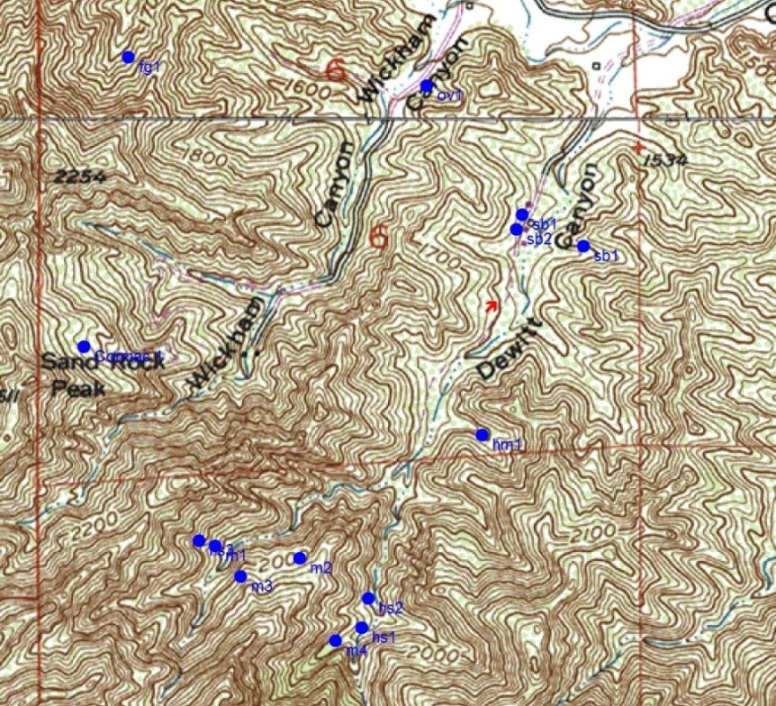
This topo map shows the two oil wells in Wickham Canyon (and the wells of Dewitt Canyon). One of the wells is near the top of Sand Rock Peak (left center) and the other is near the mouth of the canyon (top center).
No oil was ever commercially produced in Wickham Canyon. In 1865, John Moore filed a claim that included much of the upper canyon, but he found no oil. There is apparently an old oil seep close to the Wickham home site, but there is no evidence, or documents stating, that there was any oil well drilled past the mouth area of the canyon.
In fact, not too far past the Wickham home site the canyon narrows substantially to a steep-sided conglomerate enclosed canyon that is very difficult to hike, let alone bring in oil equipment for a well. And this is way before the zone where oil was being found just before the axis of the Pico anticline.
The two known wells in Wickham Canyon are the Cormac Drilling & Production Company's Cormac 1 (just below Sand Rock Peak), drilled in 1954 and abandoned in 1955, and the Electrological Petroleum Corp.,LTD's Overman 1 (near the mouth of the canyon), drilled in 1931 and probably abandoned that same year.
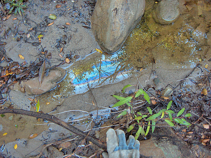
A thin layer of oil floating on the water in the creek (photo taken on 12/20/2008)
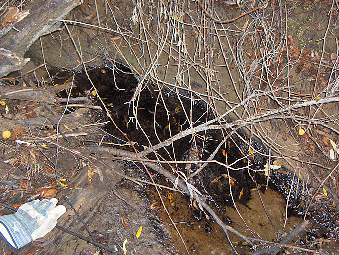
Oily water past the Wickham home site (12/20/2008)
After fighting though brush often taller than me, I ran into the Cormac well site. It is overlooking the canyon on a road that starts not too far from the Wickham home site. (12/20/2008)>
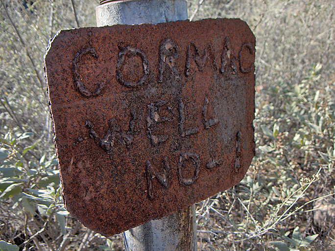
Cormac Well No. 1. The well was spudded on 10/5/1954 by the Cormac Drilling & Production Company (owned by partners W.T. Corwin and T. W. McBeath, hence Cor-Mac). The total depth was 1090 feet. The initial production was 2 barrels per day which decreased to no oil after 30 days. The well was abandoned in October of 1955. (12/20/2008)
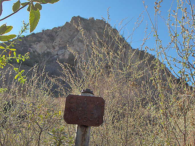
Cormac 1 is just below Sand Rock Peak (12/20/2008)
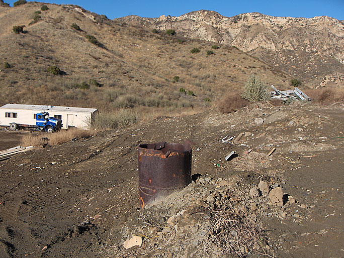
This is apparently the site of Electrological Petroleum Corp, LTD, Overman 1 well. The pipe would appear to be riveted stovepipe casing about two feet in diameter. The DOGGR only has an "Intent to Drill New Well" form from 1931. Oil scout reports state that the well was drilled to 1070 feet. It was probably unsuccessfull and abandoned in 1931. The tract map for the new Aidlin housing project shows an abandoned well at this site, so it must this one. (12/20/2008)

Closer view of the riveted pipe (12/20/2008)
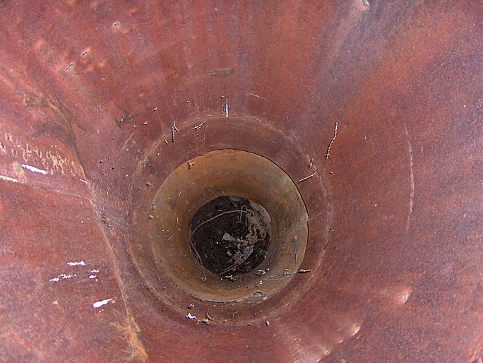
After about 15 feet, the pipe is filled with earth (12/20/2008)
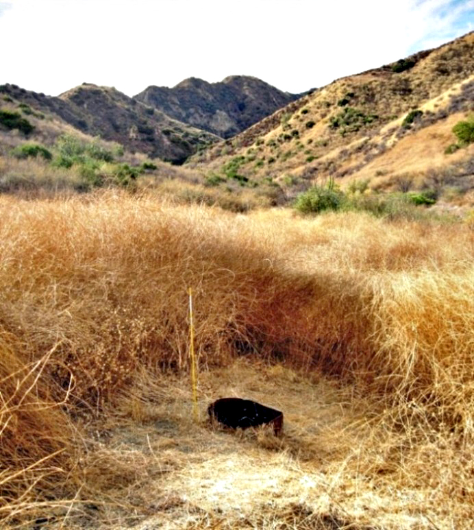
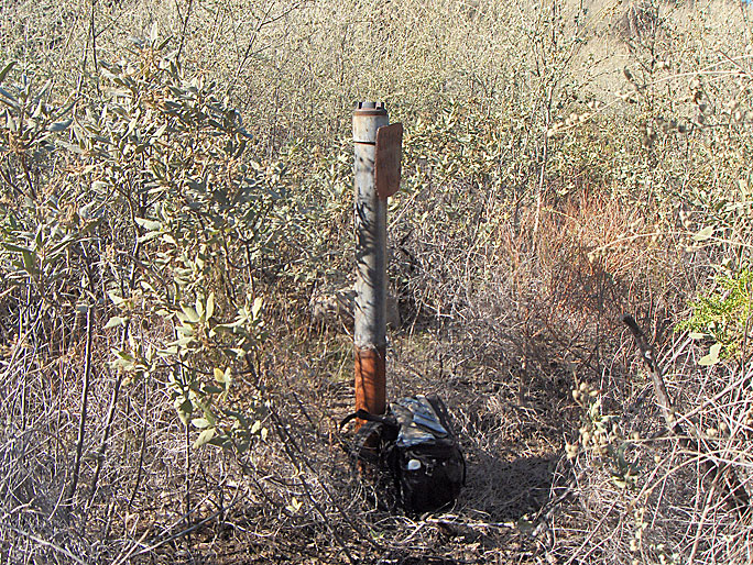
This is how it looks in 2019. The area is grown over with tall weeds and brush. The pipe has been cut lower, almost at ground level. The little marker stick was placed there by the Division of Oil Gas and Geothermal Resources (DOGGR) in January of 2019. (11/19/2019)
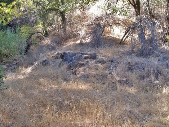
This is a dried up oil seep with my hammer sitting on it. There is no evidence of any drilling activity in the area. (10/26/2014)