Aerial Views (early ones from HistoricalAerials website) of Lang Station refinery, 1954-2025
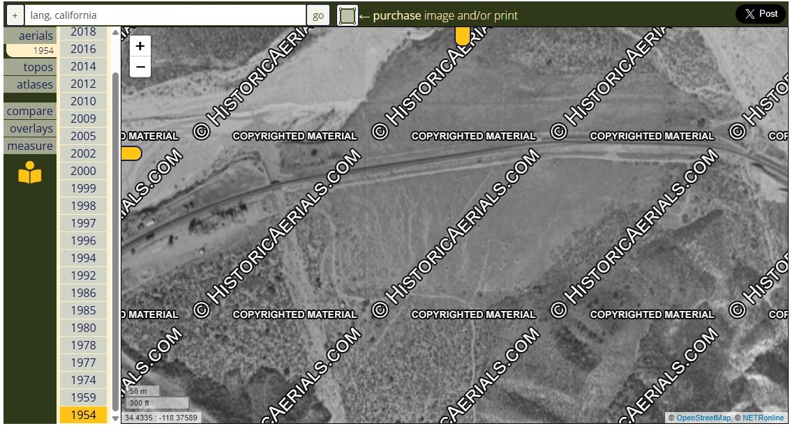
1954 - No refinery yet - One of the buildings on the left is Lang Station, on the north side of the railroad tracks
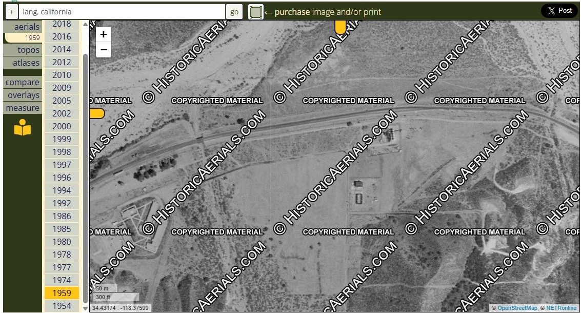
1959 - First small refinery has now been built
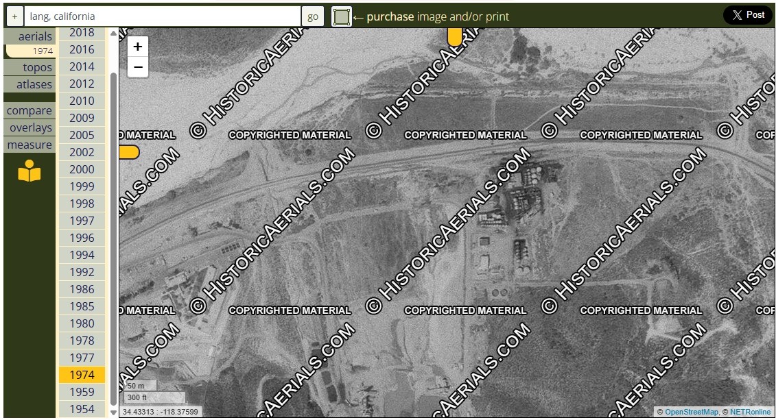
1974 - Refinery has obviously been enlarged - Lang Station is gone
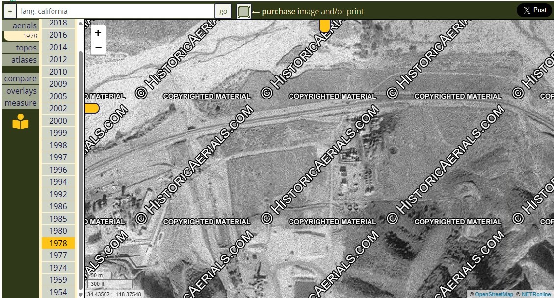
1978
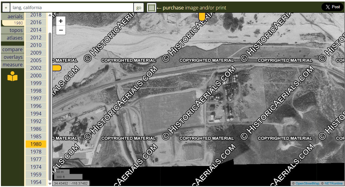
1980
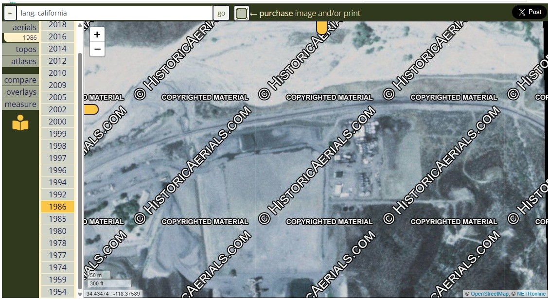
1986
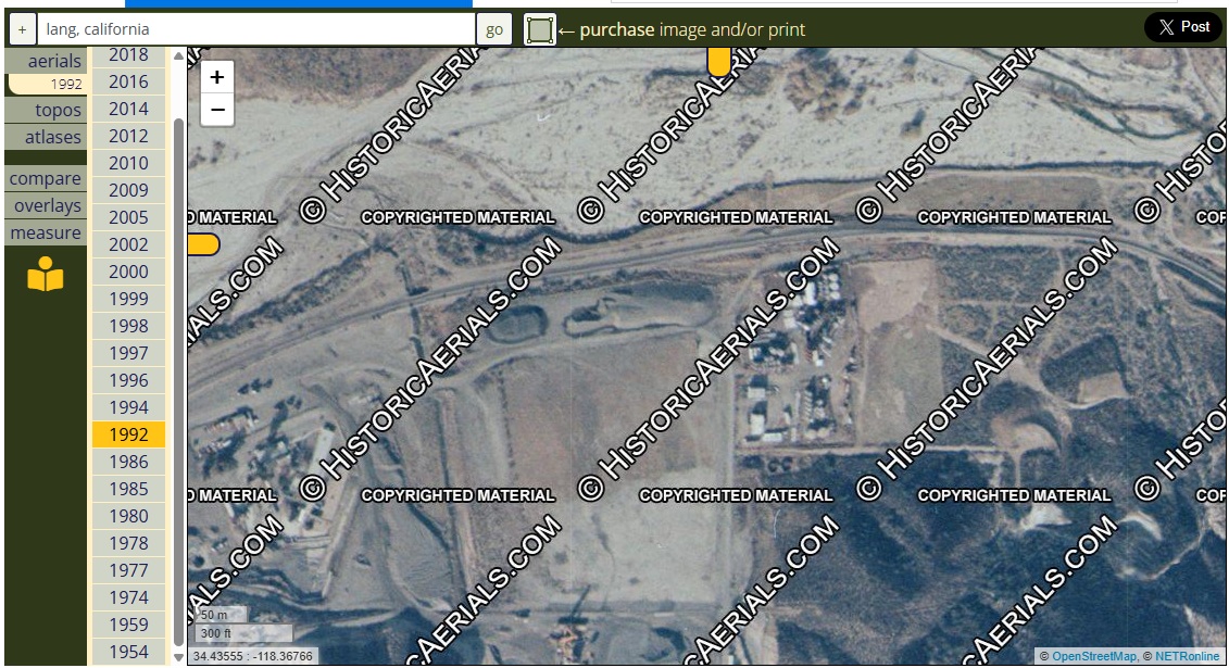
1992
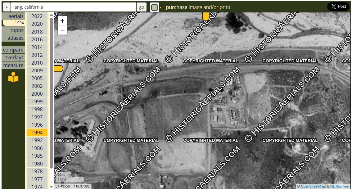
1994
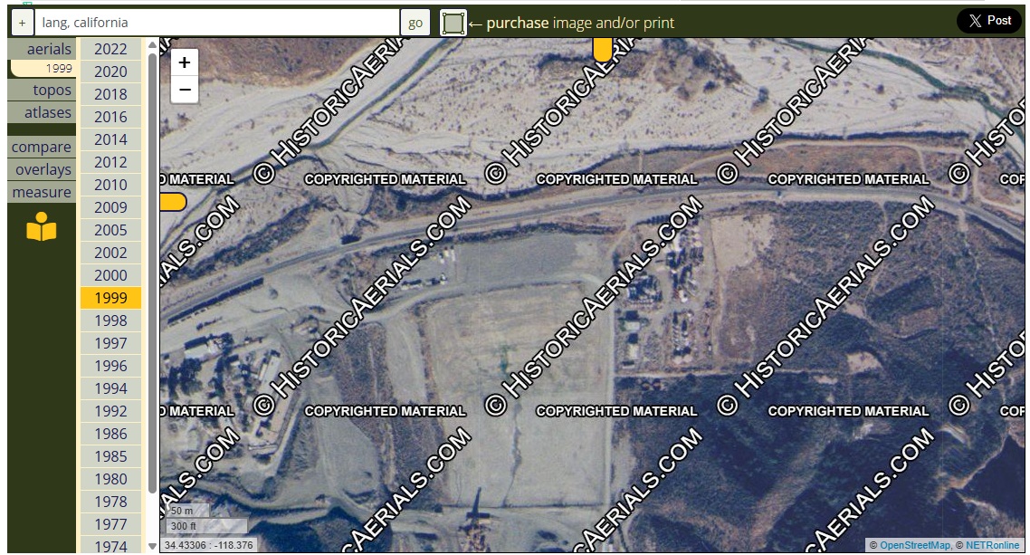
1999
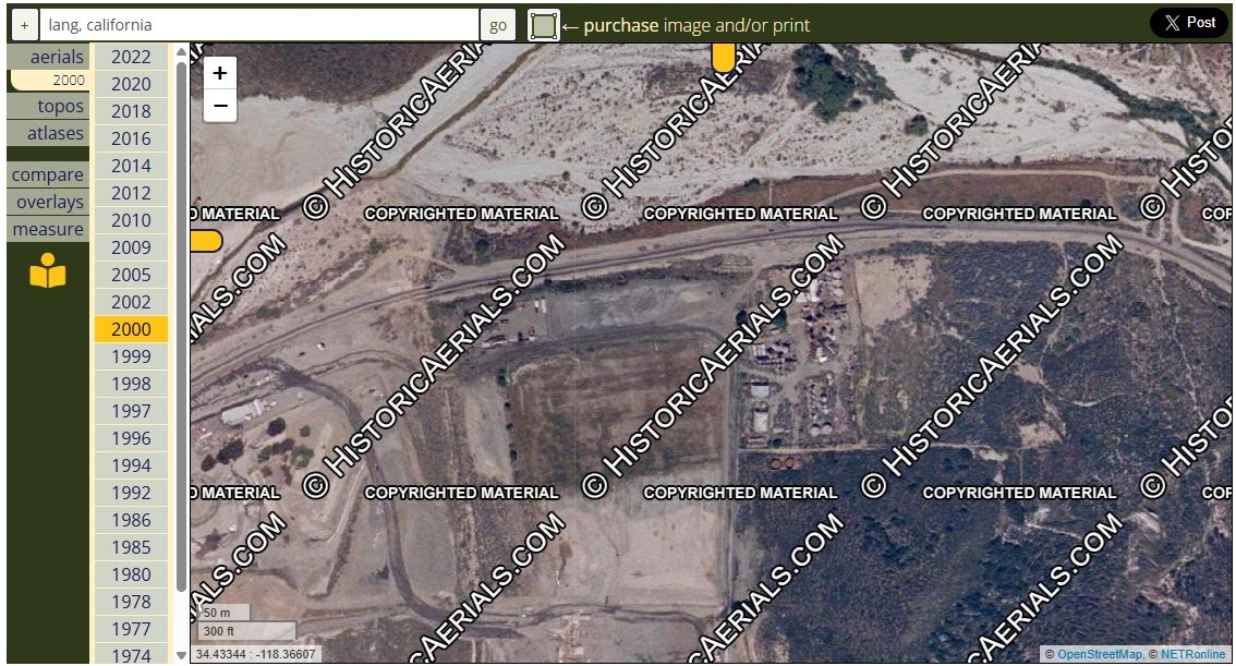
2000
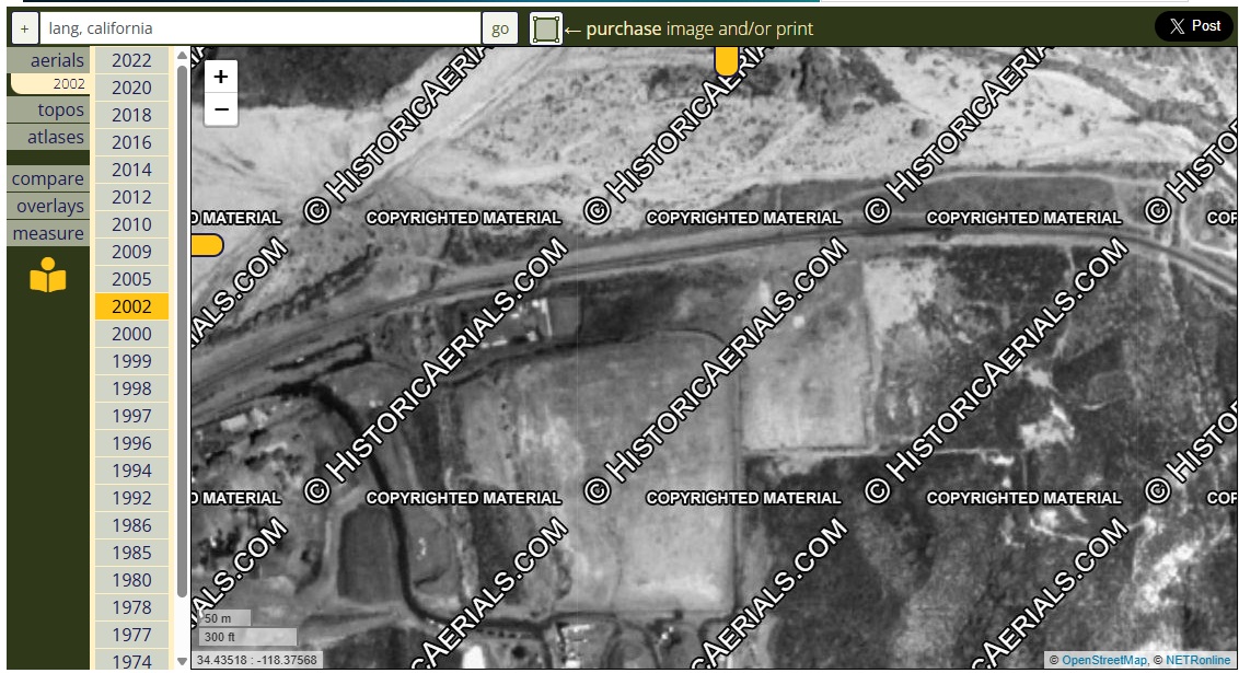
2002 - All the structures in the refinery area have been removed. However, the asphalt cap had not been applied yet.
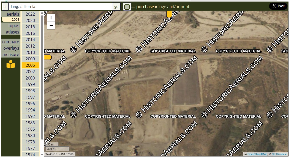
2005 - The whole lot was covered with an asphalt cap.
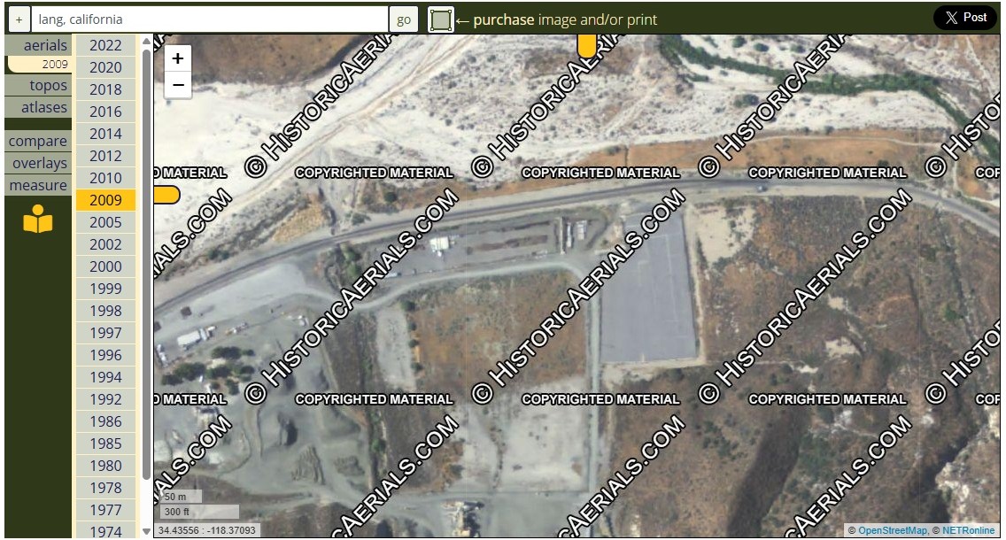
2009
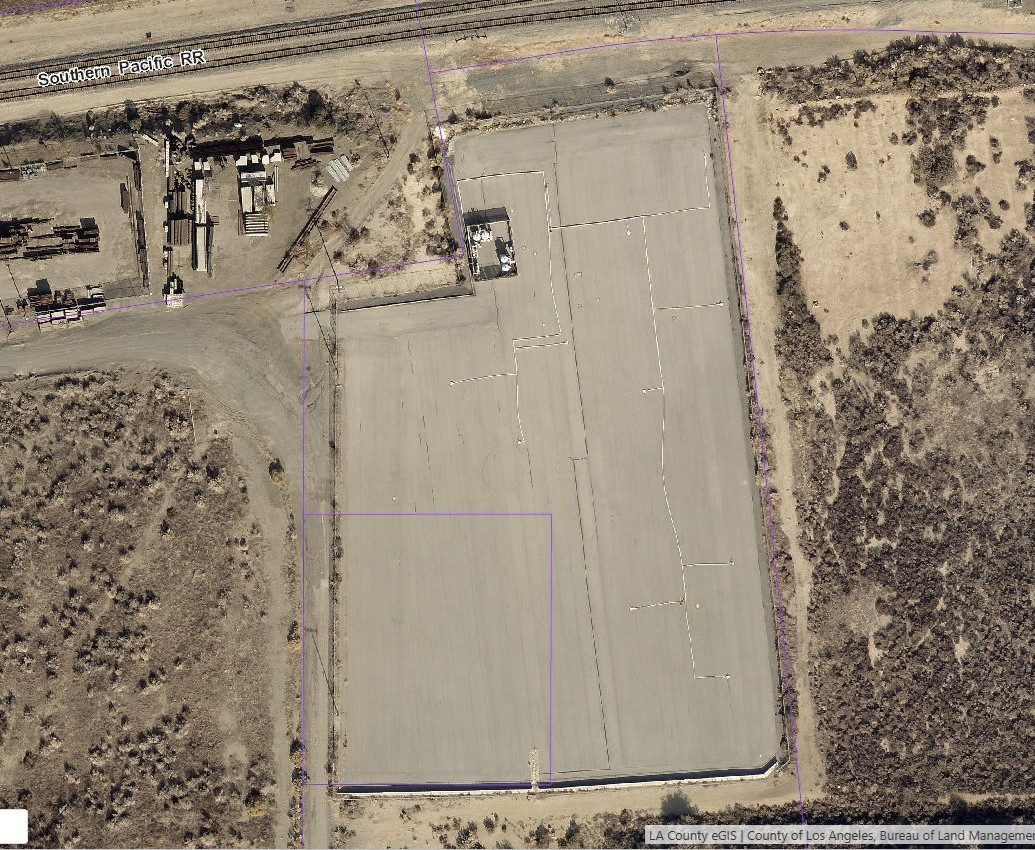
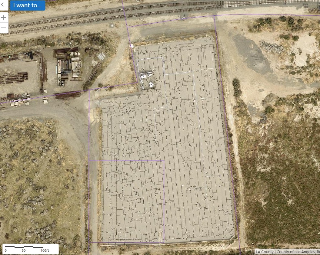
2014 - Closer view of asphalt cap (photo from LA County Assessor's website - purple lines are assessor id boundary lines).
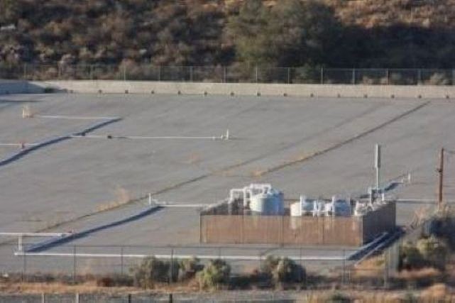
Closer view of the little fenced off area with tanks in it. The tanks must have something to do with the clean-up work.
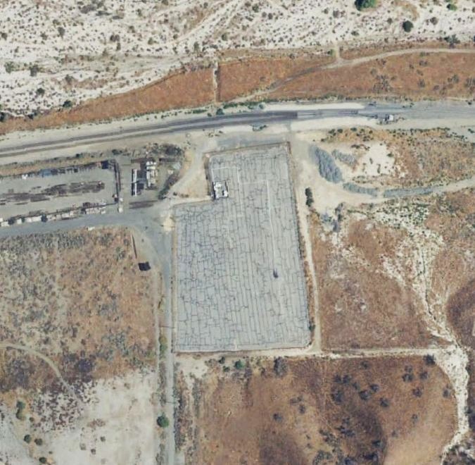
2018 (photo from LA County Assessor's website)
2020 (photo from LA County Assessor's website - purple lines are assessor id boundary lines)
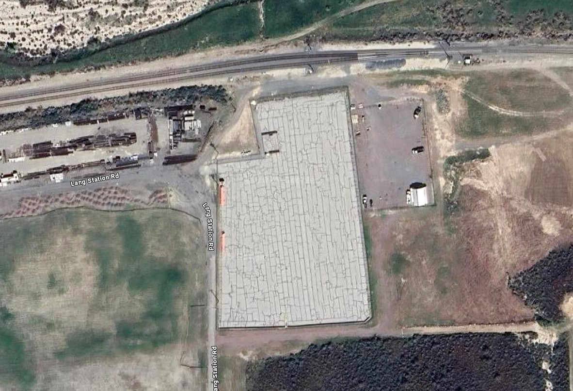
Early 2025 - An apparent new business to the right of the refinery site. Don't know if this is part of the LCA lot for sale. Notice that the tanks are gone from the little fenced in area from previous photos. Did the removal of the tanks mean that the property was finally cleared for use? (Photo from Google maps).

Later 2025 - New business expanding. Is this a McCutcheon business? (photo from PLSS Map Viewer at www.arcgis.com)