Waltz Aerial Photos Through the Years
Here are aerial photos of the Waltz area from 1928 through 2025 showing how it changed. Today, there is very little evidence that there was ever a railroad spur there. The majority of the photos are from UC Santa Barbara's FrameFinder website. Flight and frame numbers of each photo are given. The last two images are from the Esri World Imagery Wayback website.
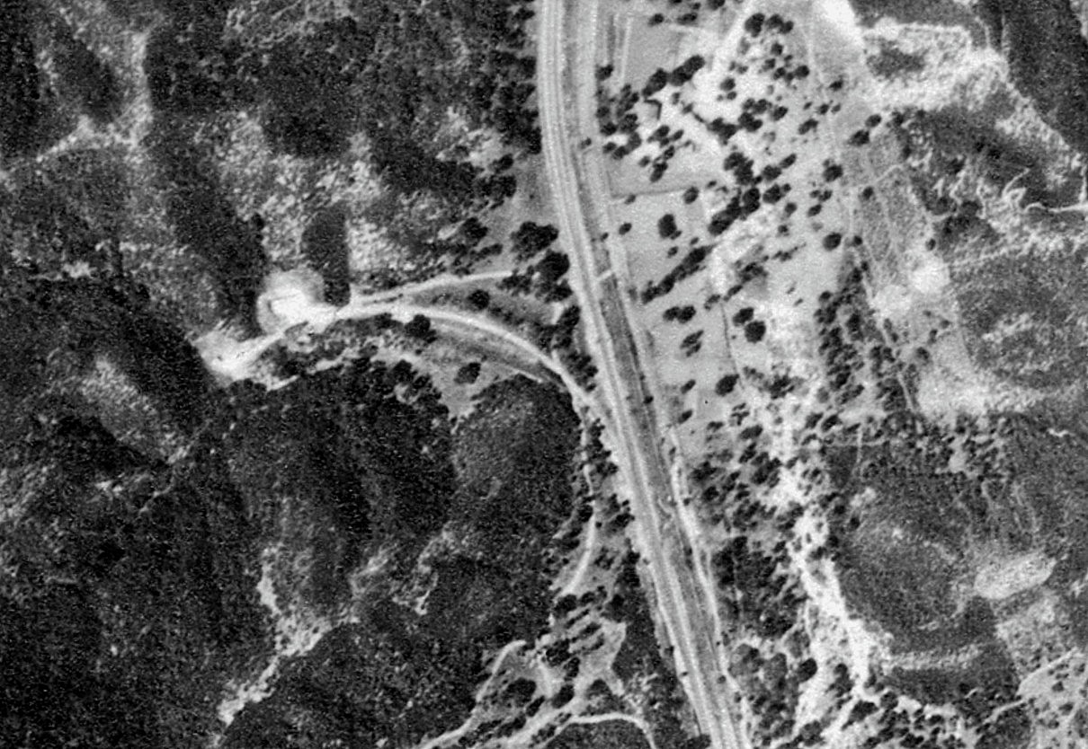
1928 (c-300_e-193)
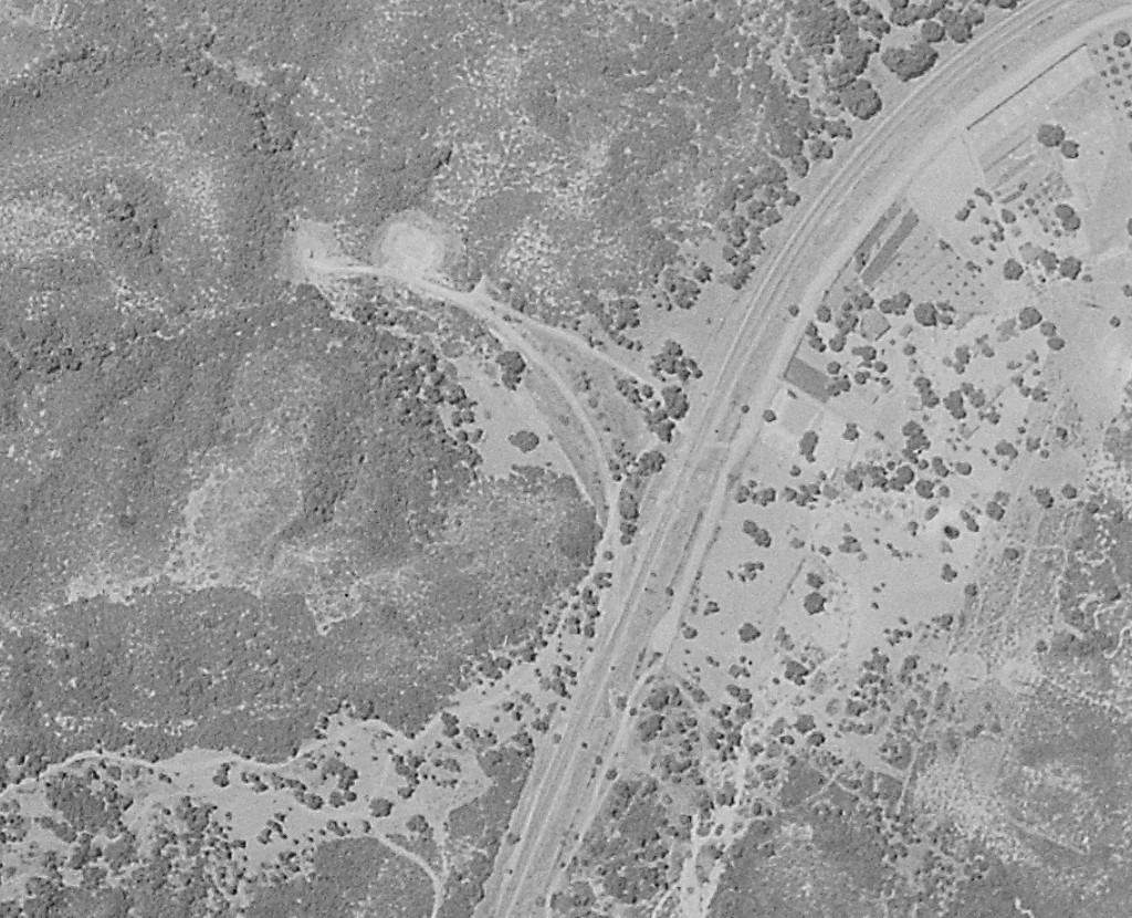
1930 (c-1001b_b-83)
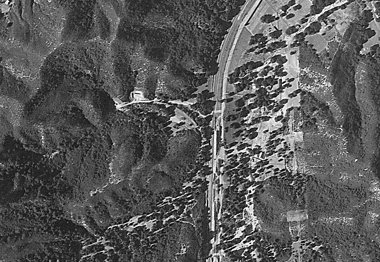
1938 (c-5526_70)
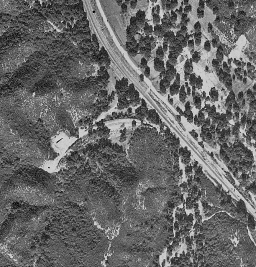
1944 (ddf-1944_12-61)
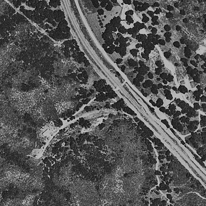
1952 (c-17727_2-73)
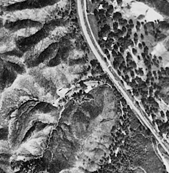
1958 (c-23023_2-4)
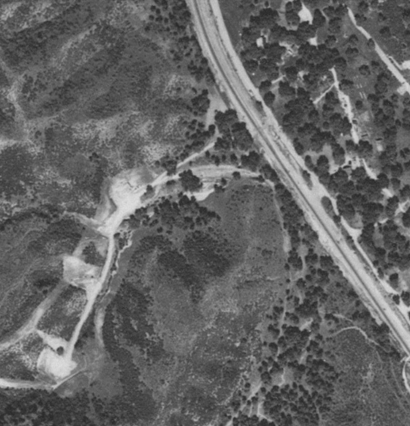
1968 (tg-2400_1-5)
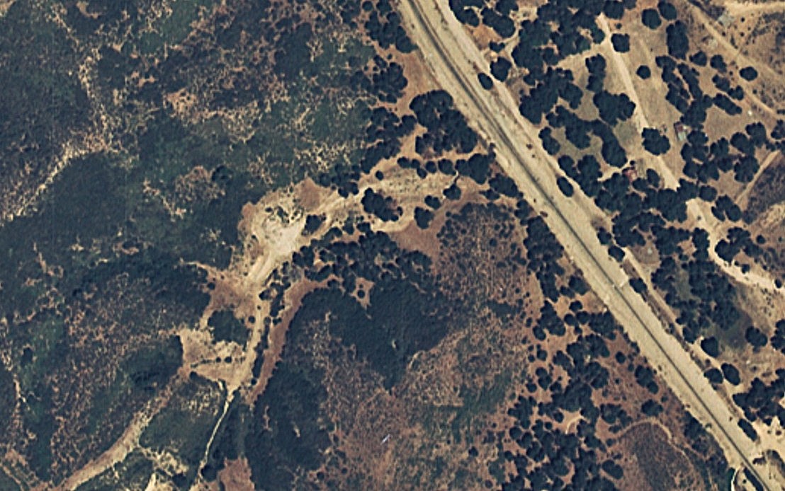
1974 (tg-3232-013_41-8)
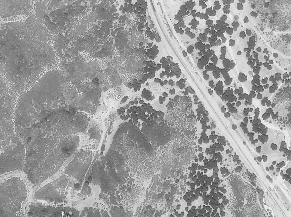
1979 (tg-3800_11-30)
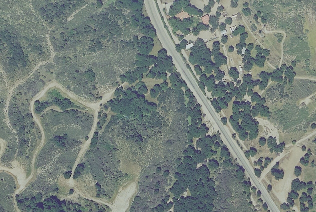
2008 (eag-27_6290)
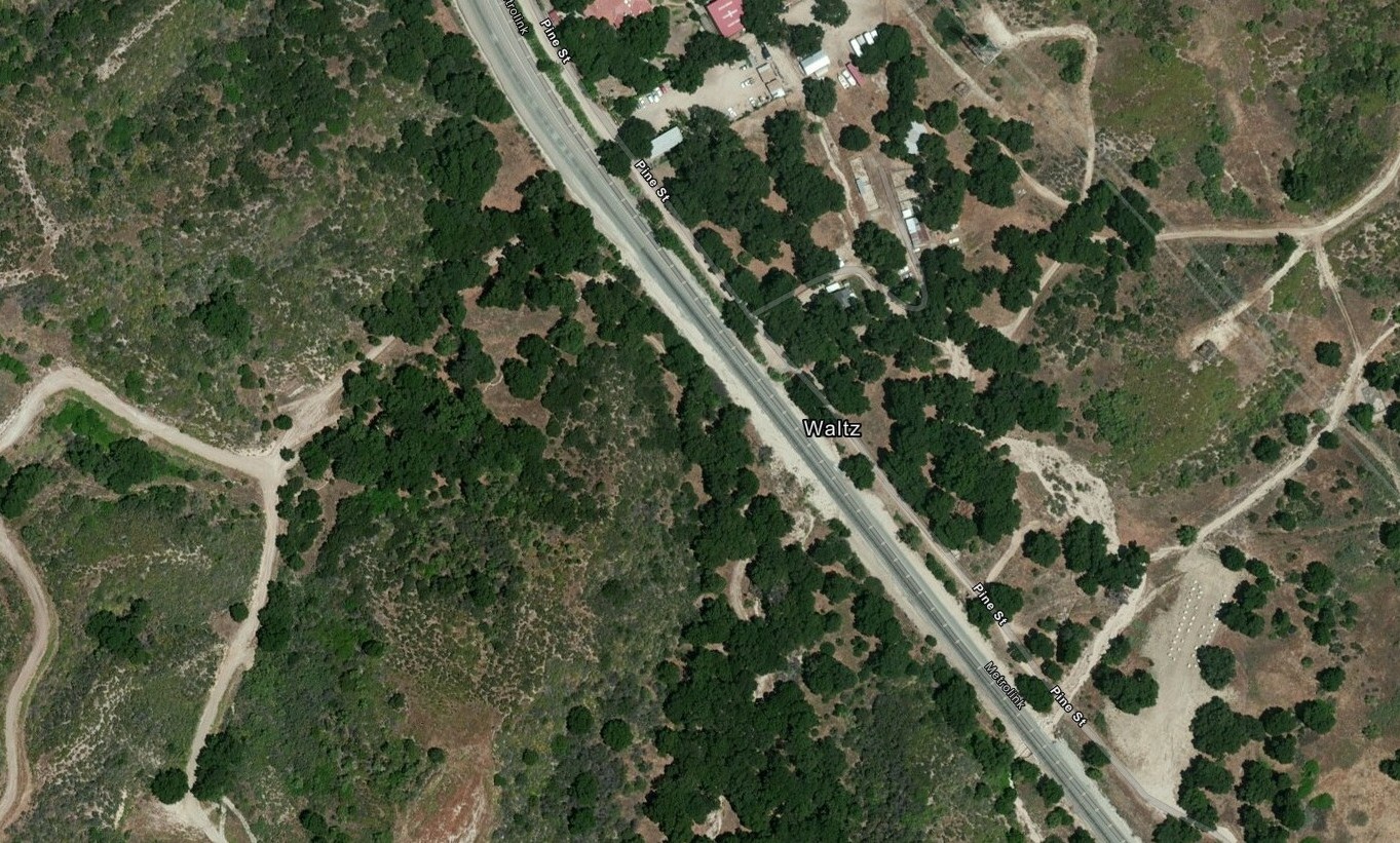
2014
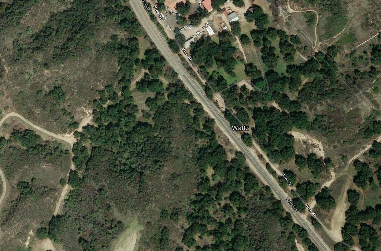
2025