Waltz Ground Photos
Here are some photos showing what the Waltz area looks from the ground when I hiked there in April of 2026.
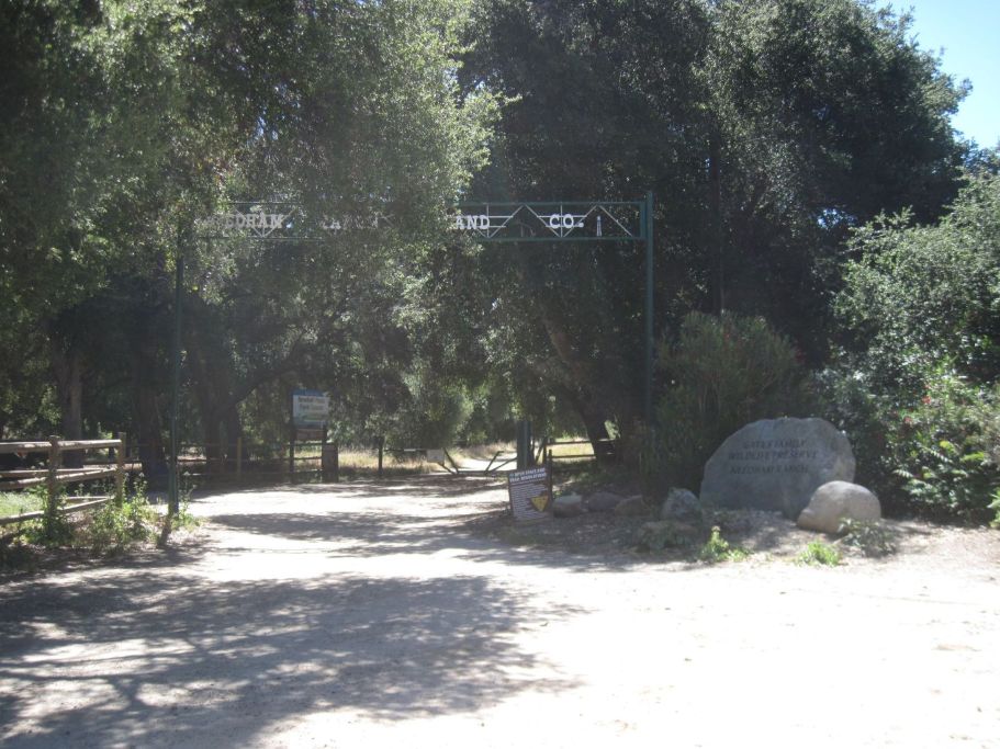
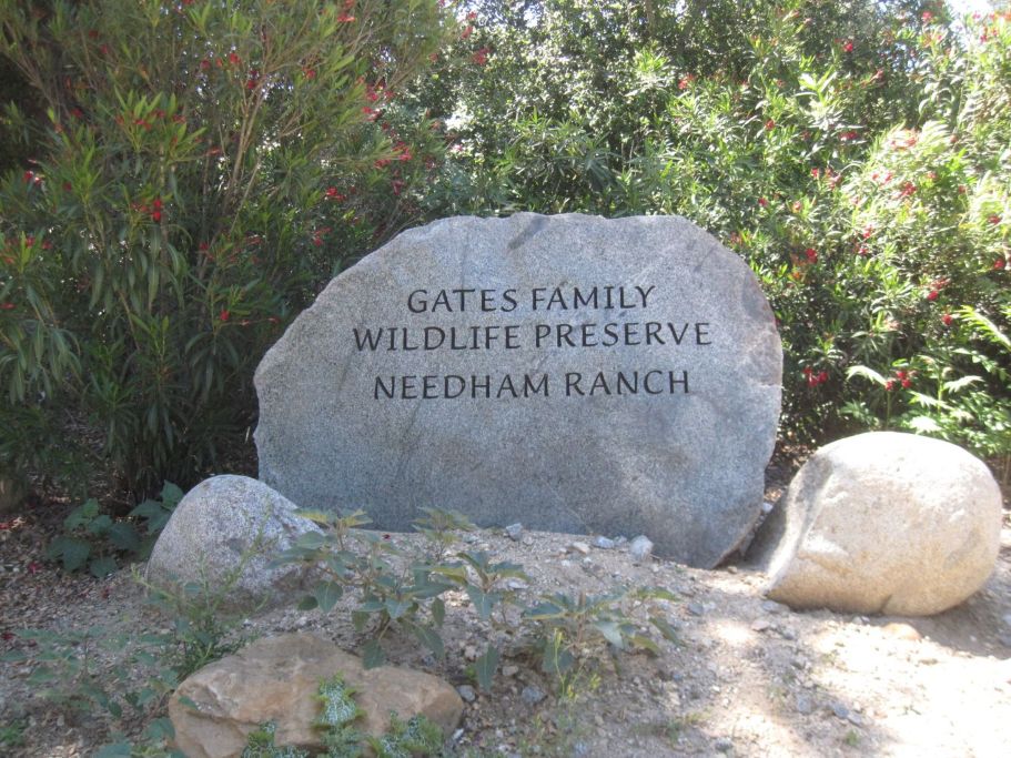
My truck is parked to the right of this photo. You can not drive much further. The trail starts just ahead. The sign in the left distance at the road says "Newhall Ranch Open Space." The rock on the right says "Gates Family Wildlife Preserve Needham Ranch." The sign along the top that is blocked by tree branches says "Needham Ranch Land Co."
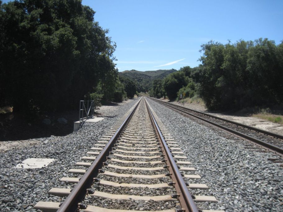
Waltz is on the west side of the tracks and the trail is on the east side. We can cross over the tracks just after we start on the trail. The west side of the tracks would have been Waltz Junction, where the spur joined with the main line. This is a view south towards the Newhall railroad tunnel. You can get a good view of the entrance to the tunnel if you don't cross the tracks and just stay on trail.
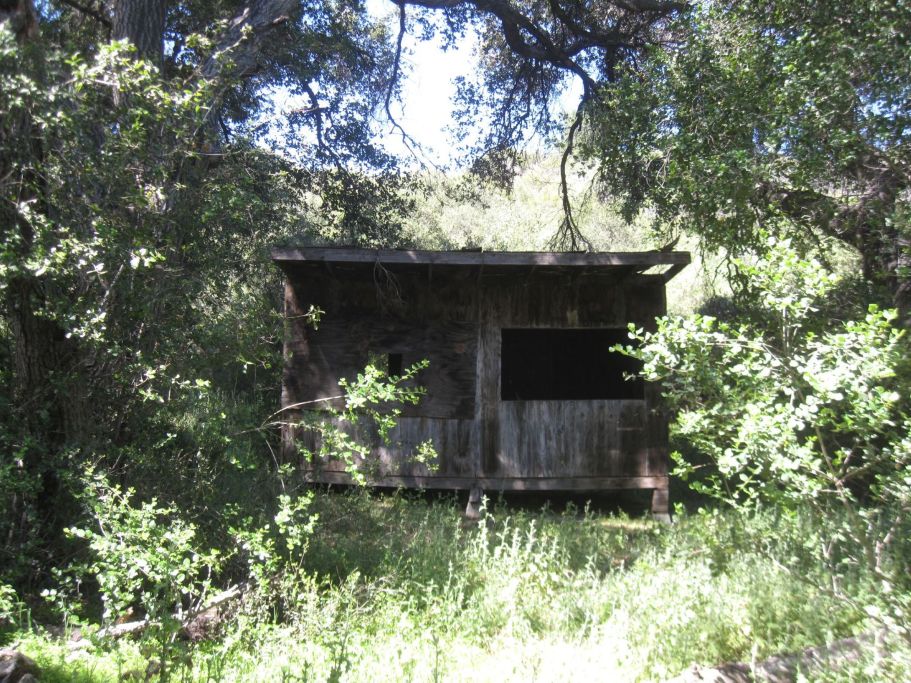
The first object we see is this primative looking building. I don't know if it had anything to do with Waltz. It looks like something some kids built.
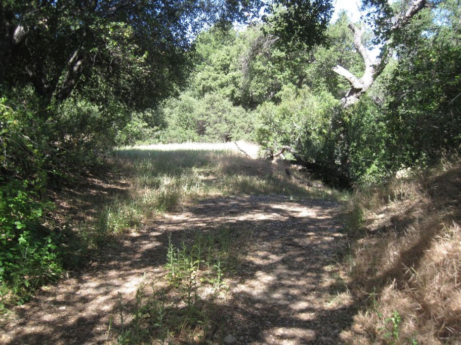
Turning right (south) on the dirt road we see the first evidence of the spur. While the road heads down to the right, the actual spur would have began curving to the left on the flat grassy area.
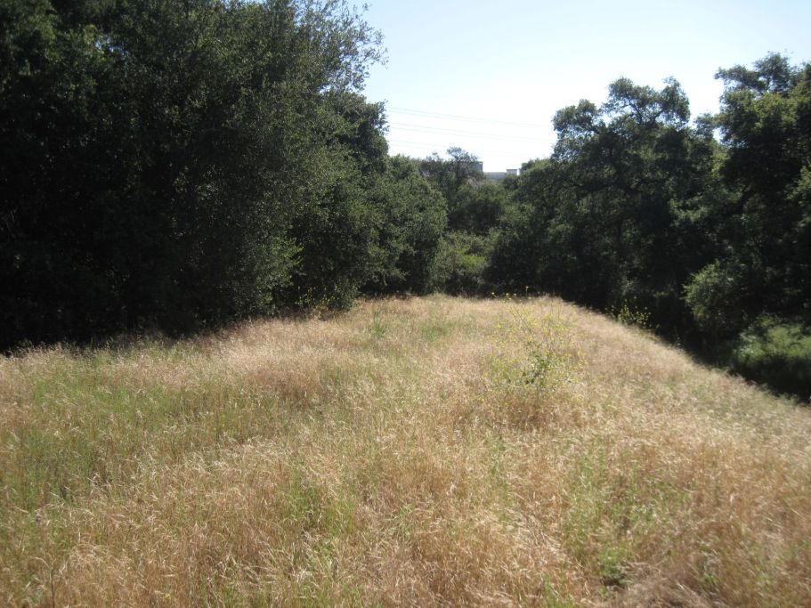
Here is another view of where the spur was. There is no physical evidence left of the tracks or anything else. (View west.)
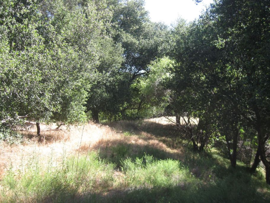
Further down there the spur grassy area with trees taking over (view east).
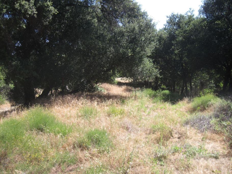
Again, further down the spur (view east).
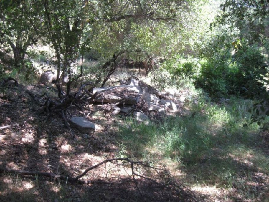
A small pile of concrete between the road the the spur just before the remains of the magazine. Don't know why this is here.
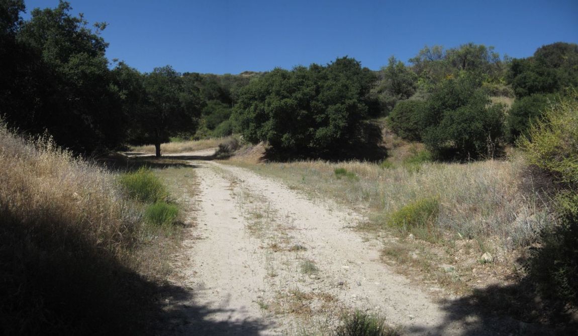
Now we are turning around and looking northwest. Based on the historic aerial photos, the spur had to have gone this way where the dirt road now is. The original road was right next to the tracks. The magazine was on the right in that flat, grassy area.
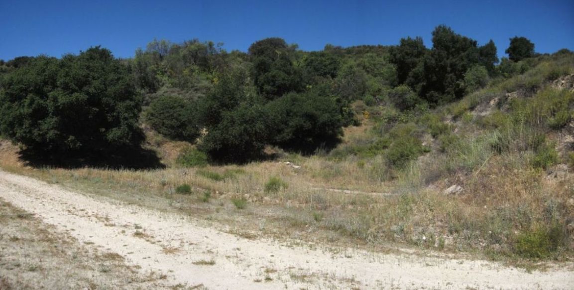
A little further down.
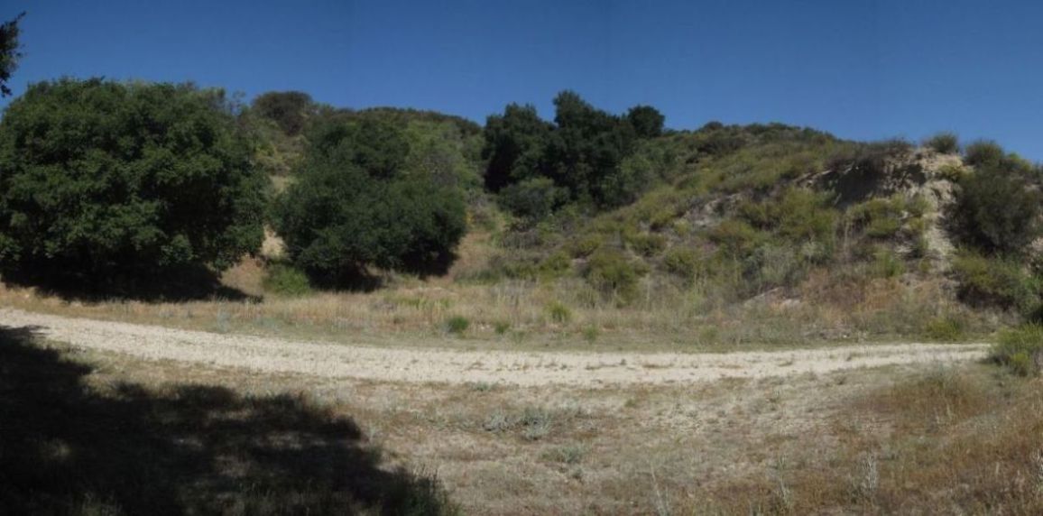
Now we are facing where the magazine was. We would have seen the whole building standing here. This is Waltz, indicated on both of the diagrams on the initial webpage.
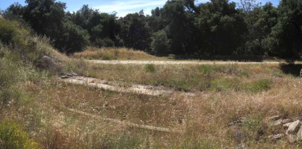
Looking back over the site from the opposite direction we see the evidence of a building foundation on the ground. There are also a pile of concrete and bricks on the right.
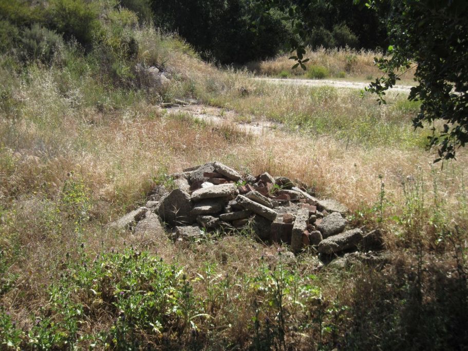
A better view of the pile of broken concrete pieces and bricks. Not much left. Most of the remains of the building have been removed.
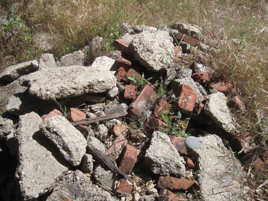
Closer view.
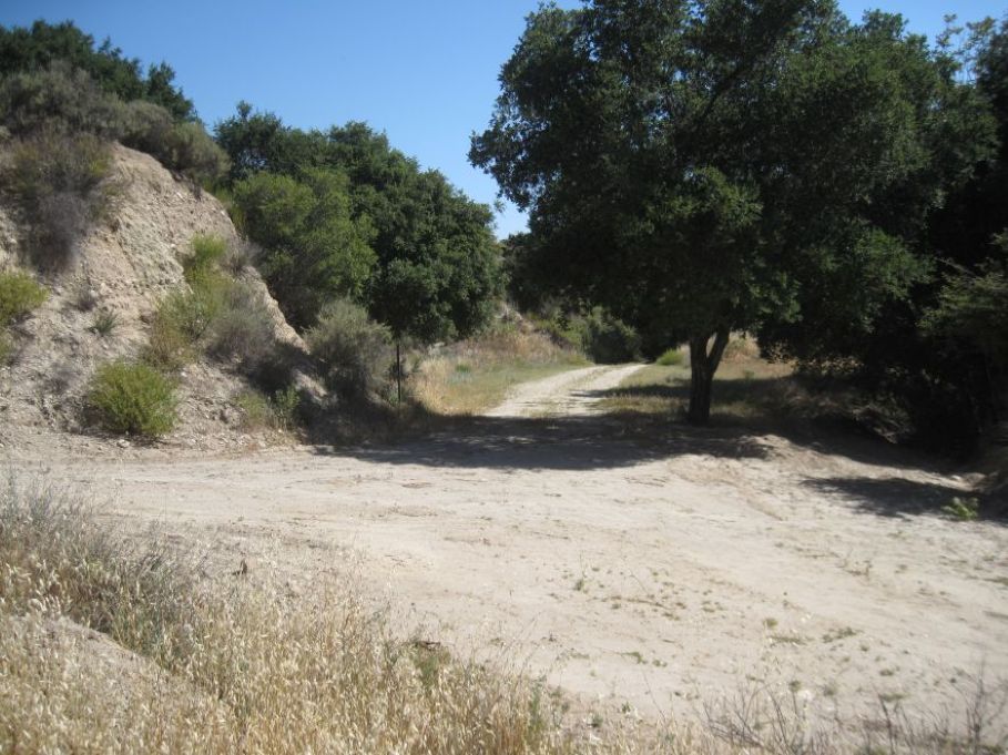
A little further down the road, or the spur when it was in use, is where a smaller building was. The building is visible on the historic aerial photos and was about at the end of the spur. There is no trace of it anymore. This is now a "T" intersection of the older road we were on (straight ahead to the east), and a more recent dirt road running perpendicular to it.