Placerita Canyon Geology - Resources and Photos
..........GEOLOGY RESOURCES (there are other geology resources on main Placerita page)..........
1934: Geology of Portions of the Humphreys, Sylmar, Newhall, and Saugus Quadrangles, Charlton D. Cooksey, Cit Thesis (PDF 48.8MB).
1939: Geology of the Placerita Canyon Area, John A. Battle, CIT Thesis (PDF 16.1MB).
1950: Geology of the Placerita Oil Field, Los Angeles County, California, Gordon B. Oakeshott, California Journal of Mines and Geology, Vol. 46, No. 1, pp. 43-79 (PDF 26.6MB).
1954: Geology of the Placerita Oil Field, Gordon Oakeshott, Map Sheet No. 31 from Division of Mines, Bulletin 170, Geology of Southern California (PDF .3MB).
1958: Geologic Map of the San Fernando Quad, Plate 1 from Geology and Mineral Deposits of San Fernando Quadrangle, Los Angeles County, California, Gordon Oakeshott, Division of Mines Bulletin 172 (PDF .4MB).
1962: Geologic map from Geology of Southeastern Ventura Basin Los Angeles County California, E.L. Winterer and D.L. Durham, Geological Survey Professional Paper 334-H (PDF 9.5MB).
1965: Placerita-Soledad-Vasquez Rocks Area, Soledad Basin, Los Angeles County, California, Field Trip of AAPG (PDF 1.8MB).
1978: Geology of the Newhall Area of the Eastern Ventura and Western Soledad Basins, Frederick M. Nelligan, Ohio University Thesis (PDF 24.7MB).
1983: Geology of the South Half of the Mint Canyon Quad, Richard B. Saul and Tom M. Wootton, OF Report 83-24La, California Department of Conservation, Division of Mines and Geology (PDF).
1986: Landslides and Related Features (plate 7B) and Geologic Map (plate 7C), from Landslide Hazards in the East Half of the Newhall Quadrangle by Jerome A. Treiman, 1987, Division of Mines and Geology, Open-file Report 86-16 (PDF 8.8MB).
1991, 1996: Geologic Map of the Placerita Canyon Area, Thomas W. Dibblee. See map notes here.
2000: Field Guide to the Geology Between the San Fernando Valley and Palmdale, California, Peter W. Weigand and Karen L. Savage from The Incredible Cenozoic Geologic History of Southern California, National Association of Geoscience Teachers, Far Western Section, Department of Geological Sciences, California State University Northridge, CA (PDF 7.2MB).
Outcrops of gneiss are very common along the Nature Center trails. Other metamorphic rocks can also be found. (photo date 5/25/2012)
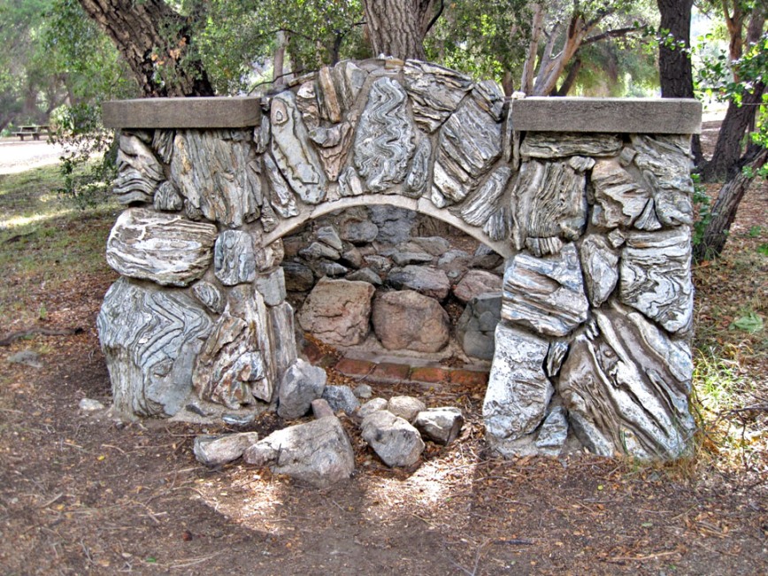
Frank Walker used pieces of gneiss to construct this fireplace seen by the Canyon Trail. (5/25/2012)

Gneiss boulder next to trail. (6/2/2012)
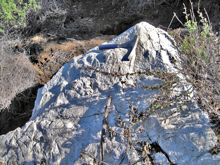
Large boulder of white marble. (a metamorphic rock)
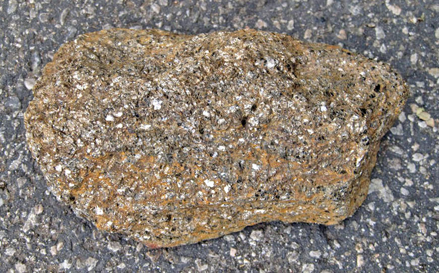
Schist (a metamorphic rock) with unusual brown color. Dimensions are about 4in x 6in.
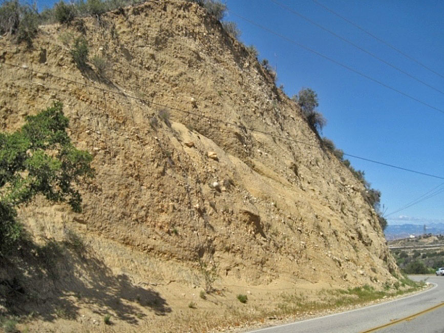
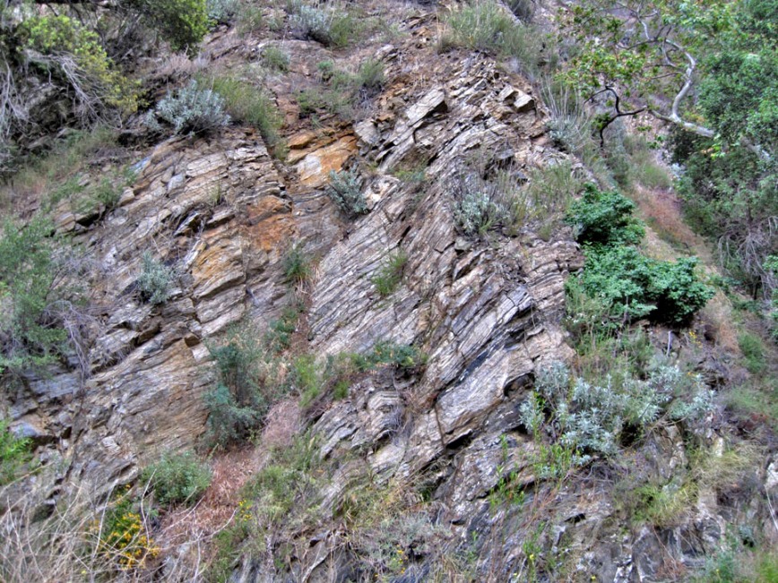
On Placerita Canyon Road west of the Nature Center turnout. This and the next three photos are mapped as Saugus formation by Dibblee. His maps are the latest (1991,1996). (4/8/2015)
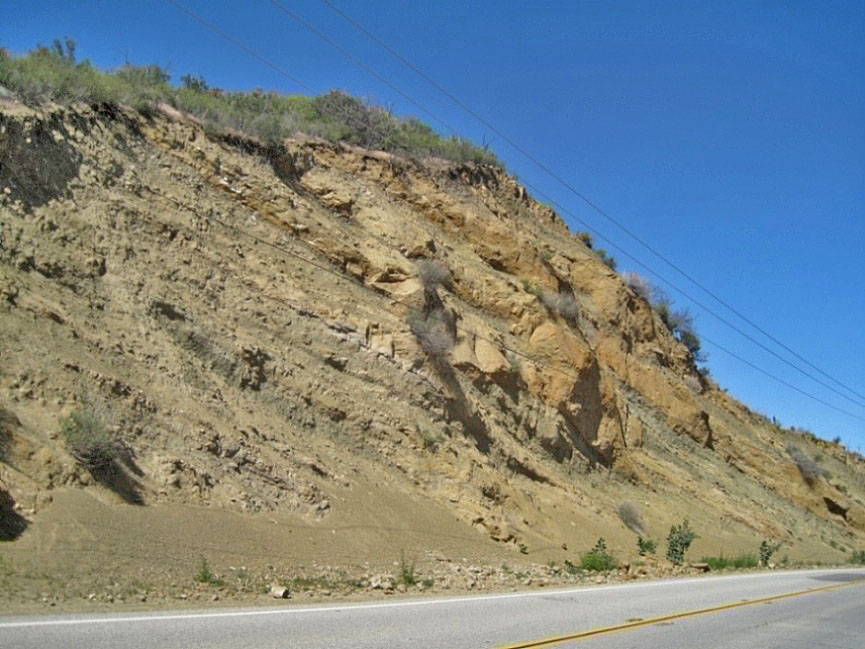
On Placerita Canyon Road west of the Nature Center turnout. (4/8/2015)
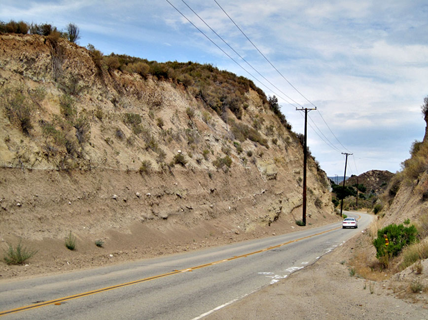
On Placerita Canyon Road east of Nature Center turnout. (7/13/2012)
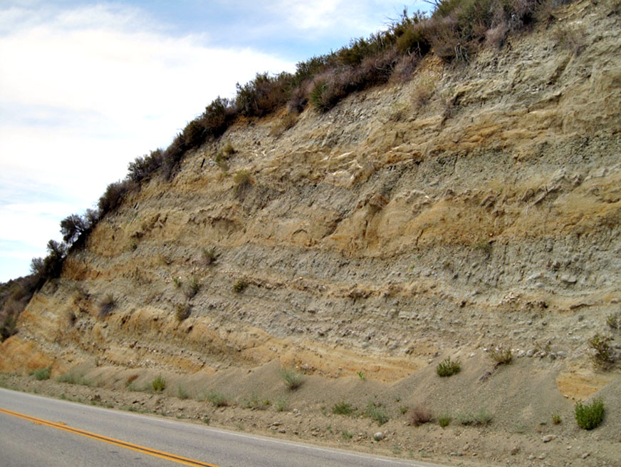
On Placerita Canyon Road east of Nature Center turnout. (7/13/2012)