Tunnel Area Historic Passes and Roads
From "California Highways, A Descriptive Record of Road Development by the State and by Such Counties That Have Paved Highways" by Ben Blow, H.S. Crocker Co., San Francisco, 1920.
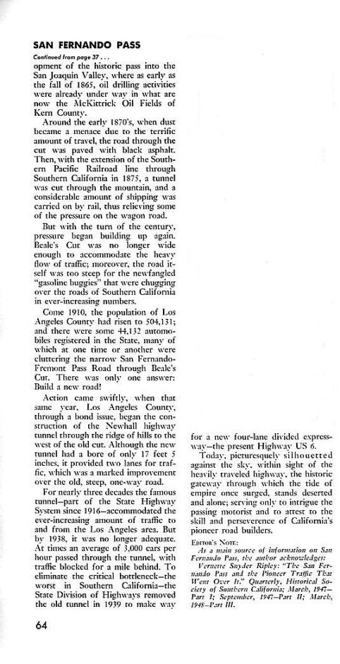
The Newhall Pass area, between Sierra Highway and the Antelope Valley Freeway (SR-14), has been the location of the Old Road (El Camino Viejo), Beale's Cut, Newhall Tunnel, and the Newhall Tunnel cut. This area has been called the Newhall Pass, the San Fernando Pass, and Fremont Pass. Sierra Highway runs through the Newhall cut, which replaced the Newhall Tunnel. Beale's Cut still exists, but is partially filled in and not used. The Old Road was almost completely destroyed during the construction of SR-14.
The roads have a similar history. Each one became inadequate for the transportation of the time - first wagons and then automobiles. The freeways (SR-14 and 5) provided the last solution to the bottleneck at the Newhall pass. I do not cover the history of the freeways. The portion of the SR-14 in this section was completed in 1972. The whole Antelope Valley Freeway was opened between 1973 and 1975.
The best source for the history of the early passes is "The San Fernando Pass and the Pioneer Traffic that Went over It" (in four parts) by Vernette Snyder Ripley, The Quarterly of the Historical Society of Southern California; March 1947, Vol. XXIX, No. 1 (Part I); September-December 1947, Vol. XXIX, No. 3-4 (Part II); March 1948, Vol. XXX, No. 1 (Part III); June 1948, Vol. XXX, No. 2 (Part IV). These can be found at the Santa Clarita Valley History website.
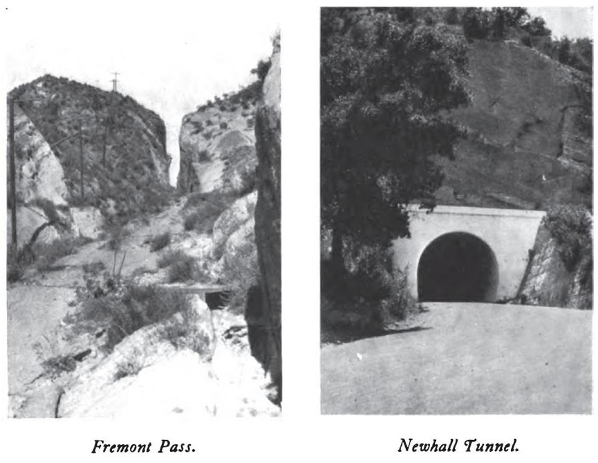
California Highways and Public Works, March-April 1964, inside front cover
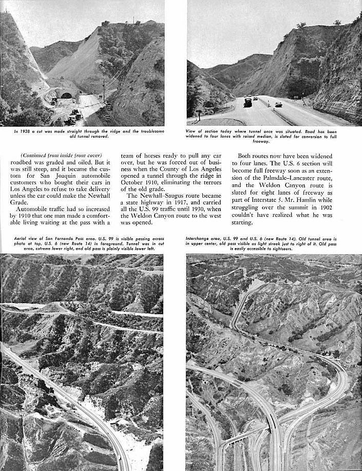
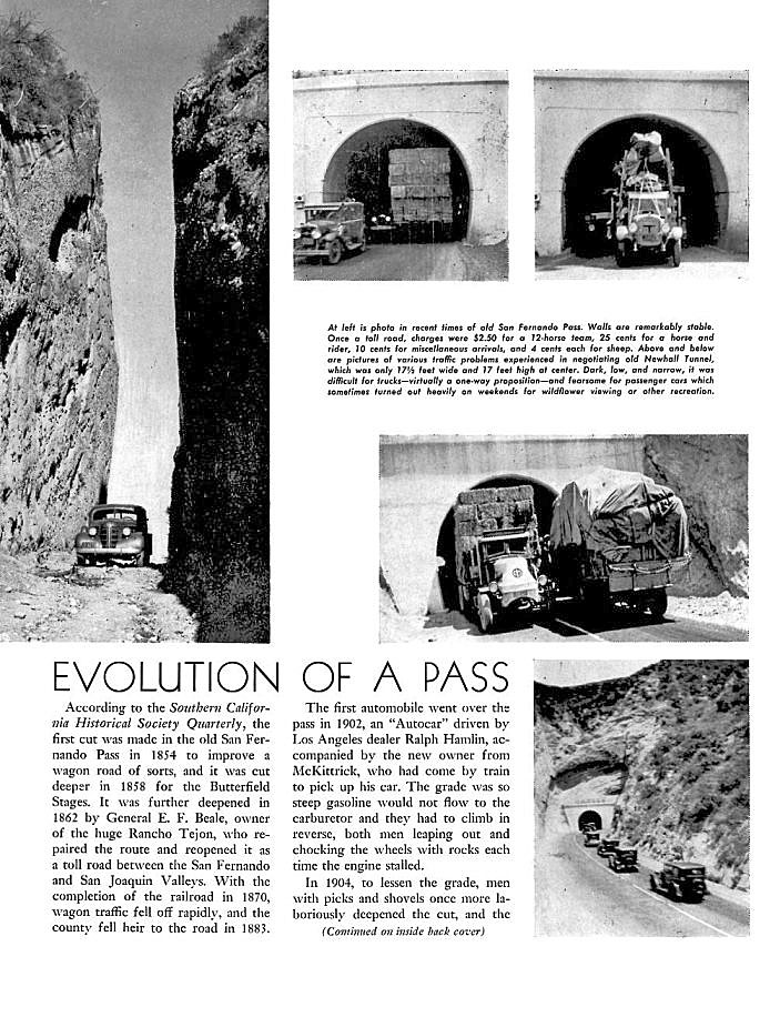
California Highways and Public Works, March-April 1964, inside back cover
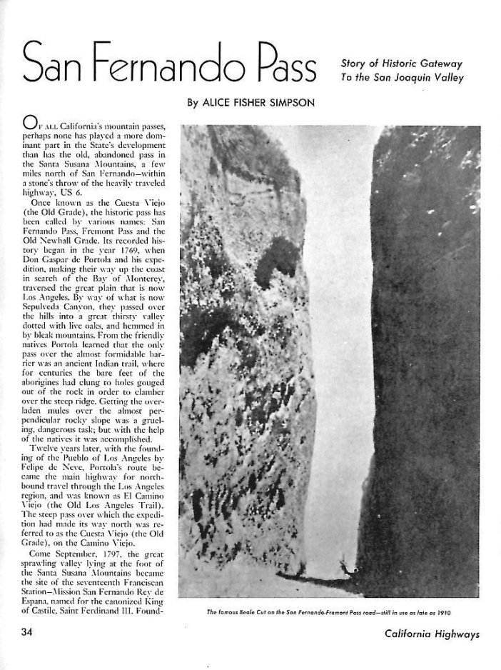
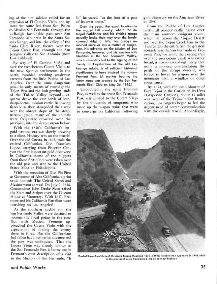
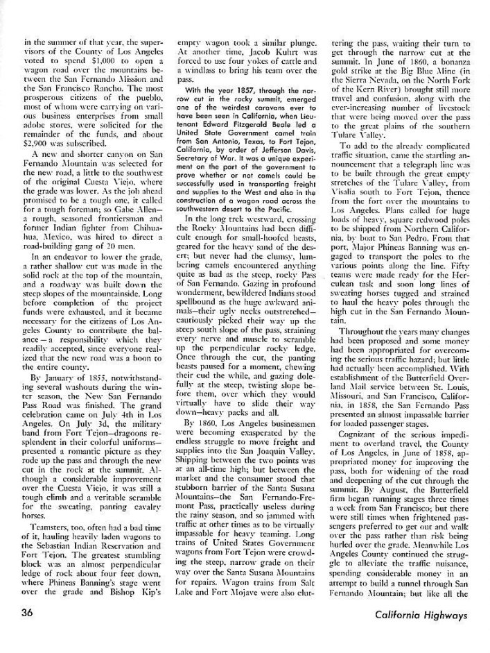
The following is from California Highways and Public Works, September-October, 1954